Bakersfield Opens New Centennial Corridor Freeway
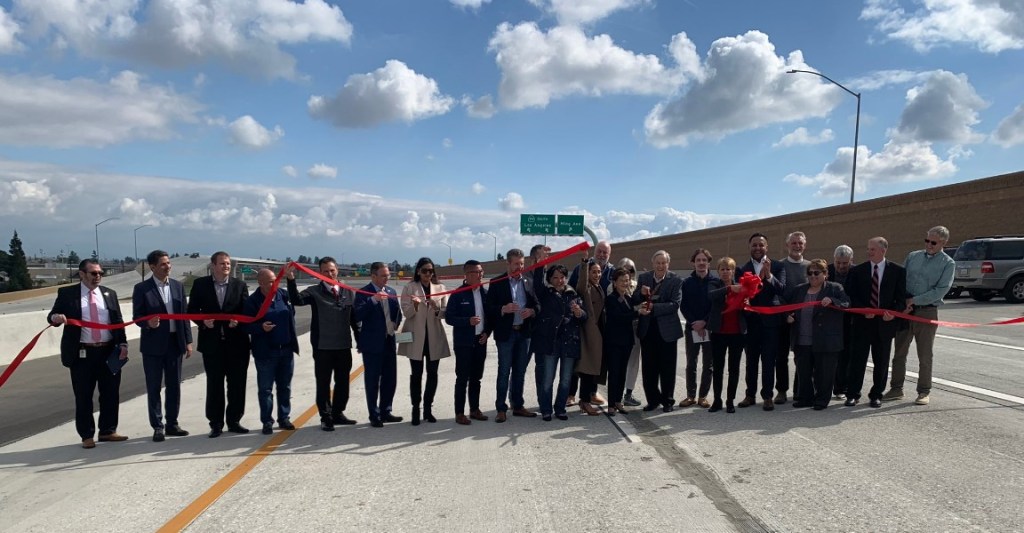
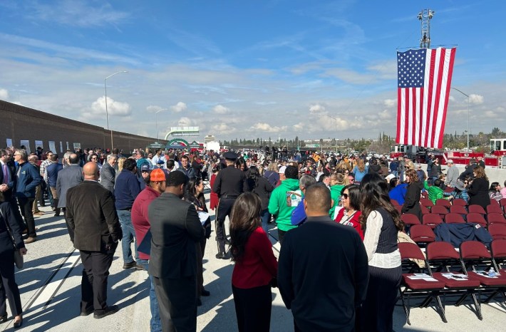
This morning Caltrans and the city of Bakersfield celebrated the opening of the Centennial Corridor freeway.
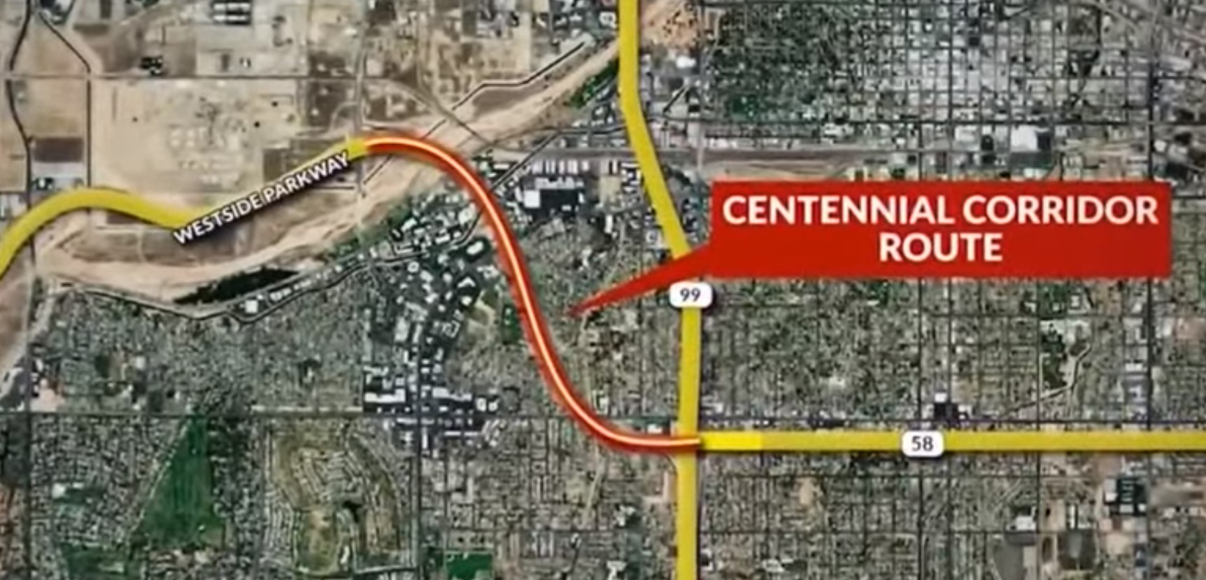
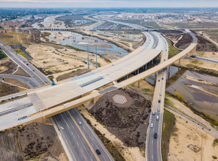
The new $1.5 billion freeway closes a gap in Highway 58, extending it about two miles northwest from its prior terminus at Highway 99 to meet with the Westside Parkway.
As with many freeway mega-projects, the Centennial Corridor freeway took a long time. Much of the federal funding was approved two decades ago, at the hand of the area’s Congressmember William Thomas, who retired in 2007.
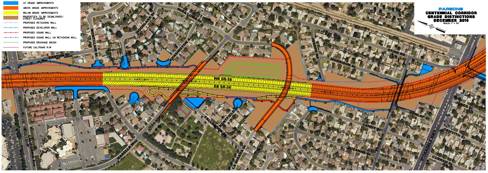
Construction took place in a few phases, lasting over a decade.
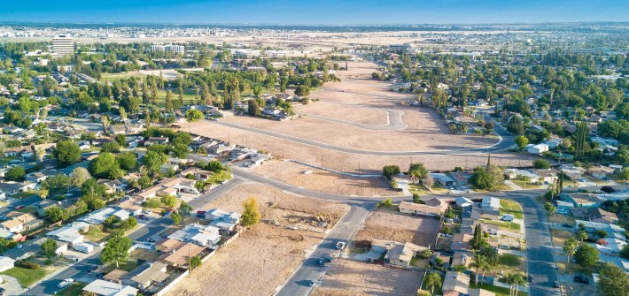
According to several news accounts, the Centennial Corridor freeway project demolished a significant swath of Bakersfield’s Westpark neighborhood, home to an estimated sixty percent people of color. About 1,000 residents were displaced as Caltrans tore out 271 homes, plus fifteen multi-family buildings (totaling 110 housing units), and 36 commercial structures (with 121 businesses).
Media accounts are asserting that new freeway will “eradicate decades of gridlock” and end a “traffic nightmare.” However, it is a long-established fact that this sort of freeway expansion does the opposite. Adding more miles of freeway lanes means inducing more driving, resulting in more traffic congestion.

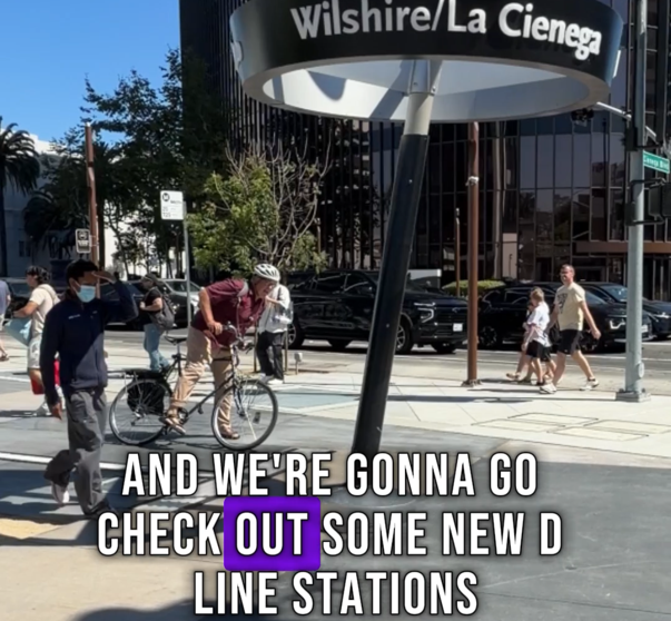
Streetsblog has migrated to a new comment system. New commenters can register directly in the comments section of any article. Returning commenters: your previous comments and display name have been preserved, but you'll need to reclaim your account by clicking "Forgot your password?" on the sign-in form, entering your email, and following the verification link to set a new password — this is required because passwords could not be carried over during the migration. For questions, contact tips@streetsblog.org.