Caltrans Releases 5-Year Progress Report on State Bicycle and Pedestrian Plan
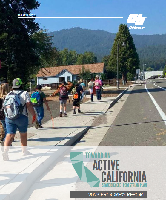
In 2017, Caltrans released its first-ever statewide bicycle and pedestrian plan, Toward an Active California. Its goals included better safety, more people walking and biking, preservation of existing active transportation facilities, and focusing investments where they are most needed.
Similar Caltrans reports in the past had been merely brief summaries of how "non-motorized" travel took place in the state. Now, new policy directions on climate, equity, and sustainability have pushed the department to take a deeper look at the needs of people who travel by bicycle and foot, and so we have this thorough compendium of all the statewide efforts to support them.
The department just released a five-year progress report on the plan, outlining what it has achieved so far in line with the objectives and strategies laid out in it. One of the major goals of this report is to track the evolution of active transportation in California.
Like similar efforts the state has undertaken in the last decade - the Active Transportation Program, for example - the goals of the plan are broad, they cover a lot of territory outside of just active transportation, and are the responsibility of a broad range of state agencies working in different areas.
The report highlights some "successes" of the last five years, including: the creation of Active Transportation Plans in each of Caltrans' twelve districts; the Climate Action Plan for Transportation Infrastructure (CAPTI) from the California State Transportation Agency, guiding transportation funding towards projects that reduce emissions; the increasing number and range of agencies and programs that fund active transportation projects; and new design guidance from the state on safe bicycling infrastructure and how to make it happen.
All of the district's Active Transportation Plans can be found here.

Although each district is vastly different from the others - in size, urban and rural context, and number and density of state highways - the plans at least have a consistent layout and approach. For example, they all include "story maps," which include some of the data the districts have mapped out such as highway conditions, pedestrian and bicyclist needs, and the density of short trips - which are considered the most likely to be converted to walk and bike trips, with the right infrastructure. They map out sidewalk gaps and conditions, where sidewalks are along high-speed highways, where pedestrian or bicycle crossings are stressful (accounting for the absence of median islands and marked crossings, posted speed limits, and other factors), what bicycle segments are stressful (due to factors such as high speeds, high traffic volumes, and narrow or absent bikeways), where opportunities to cross under or over freeways are lacking, and where freeway crossings are uncomfortable or dangerous for people walking or biking.
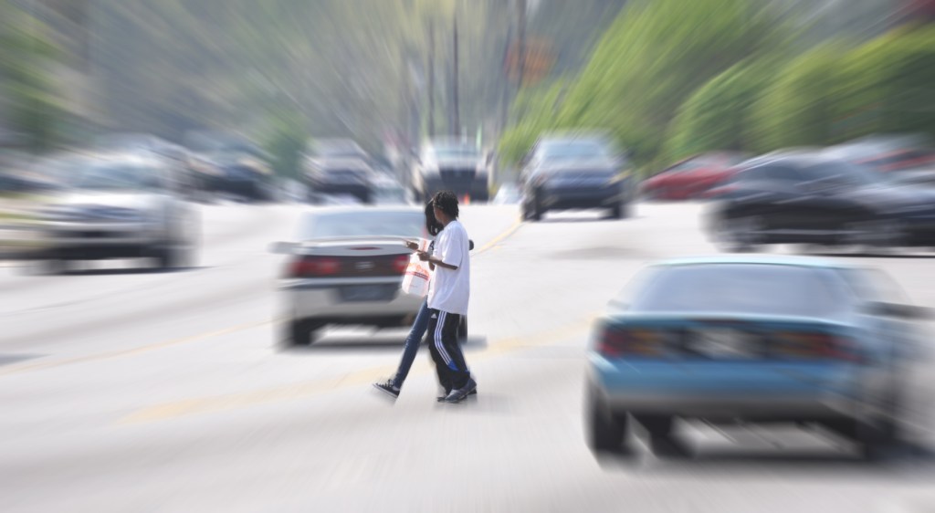
Among the safety achievements in the first five years are plans, policies, and guidance promulgated by Caltrans at the state level, including a "Pedestrian Safety Countermeasures Toolbox" to help planners address pedestrian safety issues; Caltrans' formal adoption of the Safe Systems Approach; and General Plan guidelines from the Office of Planning and Research that prioritizes active transportation.
Even the CHP has adjusted its verbiage a titch, moving "safety" and "education" ahead of "enforcement" in the name of its enforcement grants under the Bicycle and Pedestrian Safety, Education, Enforcement, and Awareness Program - to which it applies the acronym BESEEN, implying that the responsibility for safety still belongs to the most vulnerable.
The report also outlines the next steps agencies will take to further the efforts already underway. For example, the state transportation planning division is developing guidance for districts on how to incorporate the complete streets improvements it has identified into projects on the state highway system, including how to coordinate with local partners.
There is also the information that Caltrans is set to launch its Bicyclist Systemic Safety Improvement Program, "which will identify and address locations that may experience crashes based on specific roadway features that are associated with a particular crash type. The program will proactively address bicyclist-related crashes on the state highway system. The long-term goal of the program is to substantially reduce fatalities and serious injuries by providing blanket improvements that can be implemented at sites throughout the roadway network."
The progress report is useful as a resource for anyone who wants to better understand the multiple avenues for funding, planning, and policy on these topics. It is very long and goes into many details, including listing actions and achievements toward each of the plan's stated objectives (safety, mobility, preservation, and social equity). This report is basically a broad compendium of ongoing efforts, and a pretty comprehensive list of changes in statewide policies meant to support bike and walking.
As a resource, it brings together bits and pieces in one place, very useful for those who can dig through it. For example, it lists existing Caltrans design guidance for creating temporary pedestrian access routes during construction projects (see page 57) and points out that Caltrans is developing a similar statewide policy for bike access. Although people really shouldn't have to point out to construction workers that they are required to provide safe alternative routes, this guidance is good to have in one's advocacy toolbox.
The progress report also lists topics for Caltrans and its partners to consider in the next update of the plan itself. There are some gems here, which both emphasize how much work there is still to do and point the way forward. Examples of these considerations include:
- Equity, land use, and community planning should be integrated into transportation decision-making.
- Guidance is needed to help automobile-centric communities transition to more sustainable modes. (Yes please)
- In general, a collaborative approach is needed to address inequitable access to infrastructure, resources, capacity, and power, and resulting inequities in active transportation use and safety. While multiple agencies can serve various leadership roles in the policy implementation arena, new methods and partnerships are needed to establish shared decision-making processes which are necessary to make our transportation network safer and more equitable. In many cases partnering with groups such as community-based organizations (CBOs), who are often comprised of community members from the communities they work in, and therefore have established, trusting relationships, is an effective strategy in ensuring all voices are heard and included in the decision-making process, from design to implementation. Currently, there are barriers that limit or prevent the flexibility needed to harness such partnerships.
- Emphasize the planning and development of protected bikeways where appropriate. The facility selection process should begin by identifying opportunities to provide the most physical separation for bicyclists.
The full report can be found on the Caltrans website.

Streetsblog has migrated to a new comment system. New commenters can register directly in the comments section of any article. Returning commenters: your previous comments and display name have been preserved, but you'll need to reclaim your account by clicking "Forgot your password?" on the sign-in form, entering your email, and following the verification link to set a new password — this is required because passwords could not be carried over during the migration. For questions, contact tips@streetsblog.org.