Bay Area Caltrans District Refines its Bike Plan
Caltrans District 4 planners are hosting a final round of community workshops on proposed bicycle improvement priorities for state-owned roads in the Bay Area. The last workshops are tonight—from 5 to 8 p.m. in Menlo Park—and tomorrow, Wednesday, November 15, in West Oakland. An online webinar will be held from 1 to 3 p.m. on November 30 for those who can’t make it to the open houses. See this flyer for details.
The draft District 4 Bicycle Plan is a result of several previous rounds of public input, including an online survey conducted last spring on which respondents could map areas that need improvements. More than 20,000 “pins” were added to the map showing where people wanted to bike, where they thought the facilities were good and where they needed improvement, and where there were barriers to riding.
Unsurprisingly, according to the survey summary, “safety concerns predominated in the responses.”
This seems to be the first district bike plan that includes extensive public outreach—if that statement is wrong, please tell us in the comments below. A few other districts have bike plans, but they are based on outdated ideas and guidance. District 3’s bike plan, for example, released in 2013, has a vision for “convenient and continuous” bike travel, but there’s no mention of safety. District 6, in the Central Valley, released a Bicycle Guide with Complete Streets Elements in 2015, but it is largely an inventory for bicyclists of where in the area they are allowed to ride, with some notes on the conditions of the roads, including shoulder width and elevation changes. It seems more suited for recreational riders than for people who need to use bikes to get places.
Caltrans bike plans only cover state-owned facilities, but as District 4’s outreach discovered, many bike riders cross those highways and travel along them. People responding to the survey consistently named dedicated bike lanes or paths as improvements they wanted so they could feel safer and bike in areas they now avoid. Safety issues they named include fast and heavy traffic, inadequate crossings and unsafe intersections, and a lack of dedicated bike lanes.
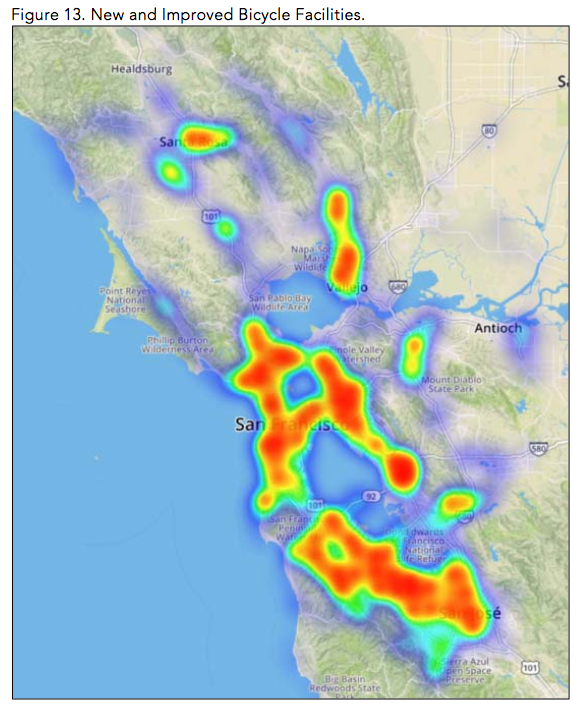
The survey summary, available here, includes “heat maps” summarizing those responses. While the maps are beautiful, the visuals are too general to come to any conclusion from them–other than that people would like to ride safely in a lot of places ringing the bay. The open houses will have more detailed maps for people to study and comment on.
Another big finding from the survey is that a lot of bike riders want to be able to use more of the bridges that cross the bay. Some Bay Area bridges are open to bikes, including the Dumbarton, Golden Gate, and Carquinez bridges–and half the Oakland Bay Bridge. Construction has begun on a project that will bring a bike path to the Richmond Bridge, a five-plus-mile-long vital connection between the East Bay and Marin.
The District 4 Bicycle Plan is a “visionary and comprehensive planning document” that follows Caltrans’ new strategic management goals in planning for more and better biking throughout California. To wit: “By 2040, people in California of all ages, abilities, and incomes can safely, conveniently, and comfortably walk and bicycle for their everyday transportation needs.”
The open houses will present a draft list of priority improvements for attendees to comment on. The final plan itself will be an online tool, with a map of priority projects, that will inform Caltrans’ complete streets implementation. According to Sergio Ruiz, the Caltrans District 4 Pedestrian and Bicycle Coordinator, the draft list and maps will be available online sometime before the November 30 webinar.

Streetsblog has migrated to a new comment system. New commenters can register directly in the comments section of any article. Returning commenters: your previous comments and display name have been preserved, but you'll need to reclaim your account by clicking "Forgot your password?" on the sign-in form, entering your email, and following the verification link to set a new password — this is required because passwords could not be carried over during the migration. For questions, contact tips@streetsblog.org.