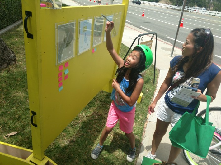
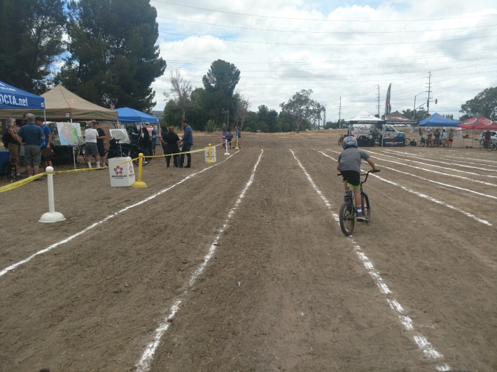
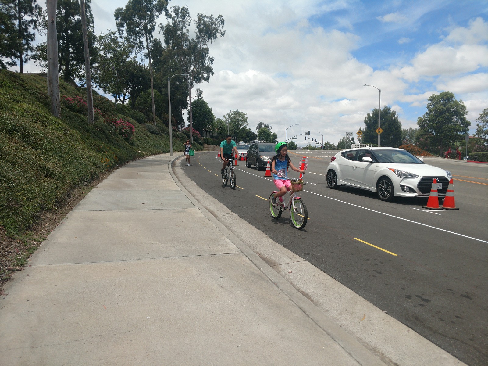
An Active Streets event on Saturday called Connect the Loop created a pop-up demonstration of two street improvement projects, including a two-way parking-protected bikeway, giving residents an opportunity to try them out and weigh in on what works and what doesn't.
In addition to the protected bikeway, the event also showcased an improved shared-use path. Together, both projects are meant to help close a roughly one-mile gap in the OC Loop, a 66-mile network of trails around Orange County that will eventually pass through seventeen cities. The gap, also called Segment H, crosses through Anaheim and Yorba Linda and, once connected, will bridge the El Cajon Trail with the Santa Ana River Trail, with separated bikeways along most of the major streets.
The event, hosted by Orange County Parks, the City of Yorba Linda, the City of Anaheim, and Southern California Association of Government's (SCAG's) Go Human campaign, ran from 11 a.m. to 3 p.m.
“Connect the Loop is about celebrating connected open spaces all of us can use,” said Orange County Supervisor Todd Spitzer. “The 66-mile OC Loop, once fully connected, will allow people to bike and walk seamlessly throughout the region.”
About seventy percent of the OC Loop is already in place, including 46 miles of existing off-street trails along the San Gabriel River, Coyote Creek, Santa Ana River, and the Coastal/Beach Trail.
Prior to the event, the project had mainly existed as drawings and street layouts, and staff would explain it verbally at community events, said Tuan Richardson, project manager for OC Parks. "Some would get it, some would not."
To give the public a better understanding of the proposed street improvements, planners decided to demonstrate it on the ground. Working with Anaheim and Yorba Linda, OC Parks applied for and was awarded SCAG’s 2015 Active Transportation Safety and Encouragement Campaign, which was later renamed as Go Human. “We’re trying to get these [Go Human] events in cities to help them get strategy in place to maximize funding opportunities and to build political support,” said Stephen Patchan, Senior Regional Planner for SCAG.
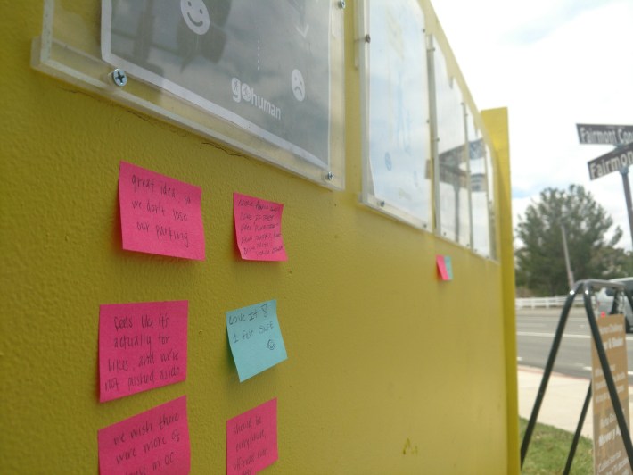
The project is currently in the environmental review phase, and the final design stage is expected to start soon. Surveys collected from attendees Saturday will be used to further refine the project.
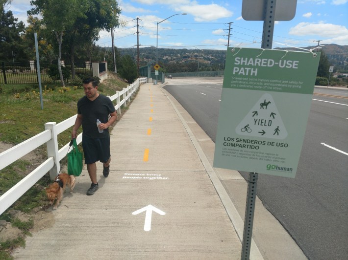
The entire demo route was either entirely separated or had a comfortable buffer from car traffic. The existing shared-use path on Fairmont Blvd is already separated for pedestrian, bicycle, and equestrian use, but was enhanced with signage and surface markings. The parking-protected bikeway had a mix of parked cars and potted plants as barriers.
Yet, its hilly terrain was not the easiest to ride. Going north on the Fairmont Boulevard shared use path or northeast on the Fairmont Connector parking-protected bikeway meant heading up a consistently steep incline.
Unfortunately, there's no getting around that, as the steep Fairmont Boulevard and Connector are the most direct routes connecting the Santa Ana River trail on the south to the El Cajon Trail on the North, Richardson said.
The day's event only covered part of OC Loop’s Segment H. The rest of the plan to complete the gap includes a two-way cycletrack along Esperanza Road, and on Fairlynn Boulevard, a Class II striped bike lane with a two-foot-wide painted buffer on the northbound side and sharrows on the southbound side.
Attendees mostly came out on foot and bike. Those who didn't have a bike were able to borrow one for free at the Go Human booth.
Anaheim residents Michael Hu and his wife Regina brought their ten-year-old daughter to ride the route. The family said they’ve never experienced parking-protected bikeway, but that they did feel safer riding in one. “Usually I feel safe on the bike trails, but it would be nice to have more of these bike lanes,” Michael said.
