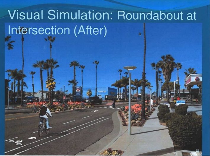
The San Diego County city of Oceanside is planning major changes to Pacific Coast Highway through its downtown that would include roundabouts, bike lanes and pedestrian crossings. To make room for these improvements, the city would reduce the mixed-use travel lanes from four to two. At a City Council meeting last week (Item 24), the city approved the "vision" for the changes, and a $2 million contract with planning firm Kimley-Horn to conduct outreach and design the project over the next 18 months.
Other treatments planned for the corridor between Highway 76 (SR-76) and Wisconsin Avenue. Oceanside plans further expansion until the entire corridor is improved in future years.
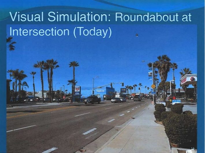
One of the main reasons for the changes is that Coast Highway, also known as Highway 101, becomes a cut-through for drivers when the nearby Interstate 5 becomes congested. When it was constructed in the 1920s, planners expected PCH would be the north-south corridor for the region, however after construction of the I-5 in the 1960s, its use changed to support the Oceanside community. As cut through traffic became a bigger and bigger problem, the city has looked at various ways to keep cut through traffic on the I-5. An earlier version of this plan was begun in 2008-2009, but didn't lead to major changes to the route.
“This is a solution for that,” Oceanside resident Joan Bockman told the San-Diego-Union Tribune. “We want it to stop being I-5 west.”
In addition to the improvements listed above, the city will also install raised center medians, additional landscaping, improved lighting and other features along the corridor.
