SGV Hikes and Bikes: Schabarum Trail Peak
To start the year off, SBLA and SGV Connect are debuting a periodic series about trails in the San Gabriel Valley called SGV Hikes and Bikes. With many of these, you’ll obviously want to wait until it’s less muddy, but keep them filed away for a day off in the near future.
In this edition, we’ll look at the Schabarum Trail Peak, in what’s essentially the Southern boundary of the SGV (up above Peter F. Schabarum Regional Park in the Puente Hills). This is part of the nearly 30 mile Schabarum-Skyline Trail that runs from near San Dimas to Unincorporated Whittier, but let’s just focus on this much more digestible 1.7 mile hike.
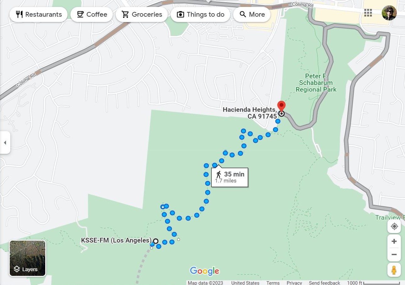
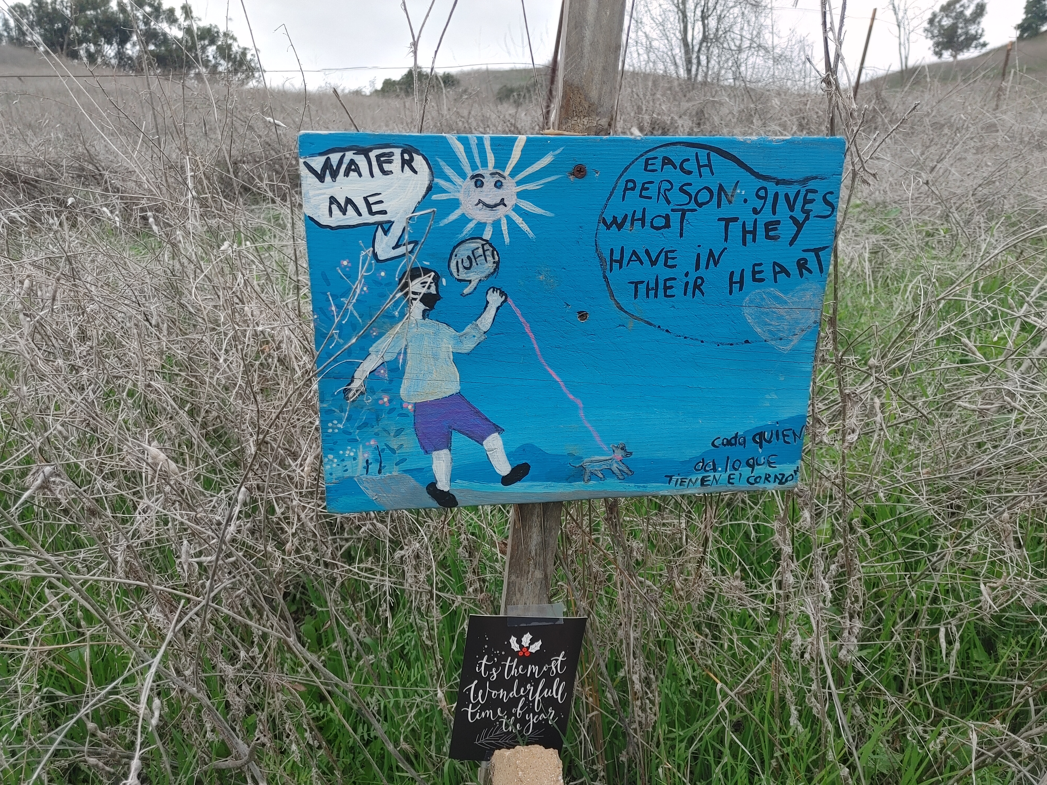
This dirt trail takes an hour to an hour-and-a-half roundtrip on foot, and is bike accessible. You begin near the horse stables in the back of the park. It’s just about a 400 foot climb to the “official” peak (it’s roughly another 65 feet to the true peak, which is private property). Sights along the way include: the various hills and mountains that give the Valley its name, the Puente Hills Mall, the 60 Freeway, and the usual stoner detritus tucked here and there. Of course, be mindful that this is a rattlesnake and coyote habitat, and if you’re planning to bike it, there are some deep cracks in the trail to watch out for.
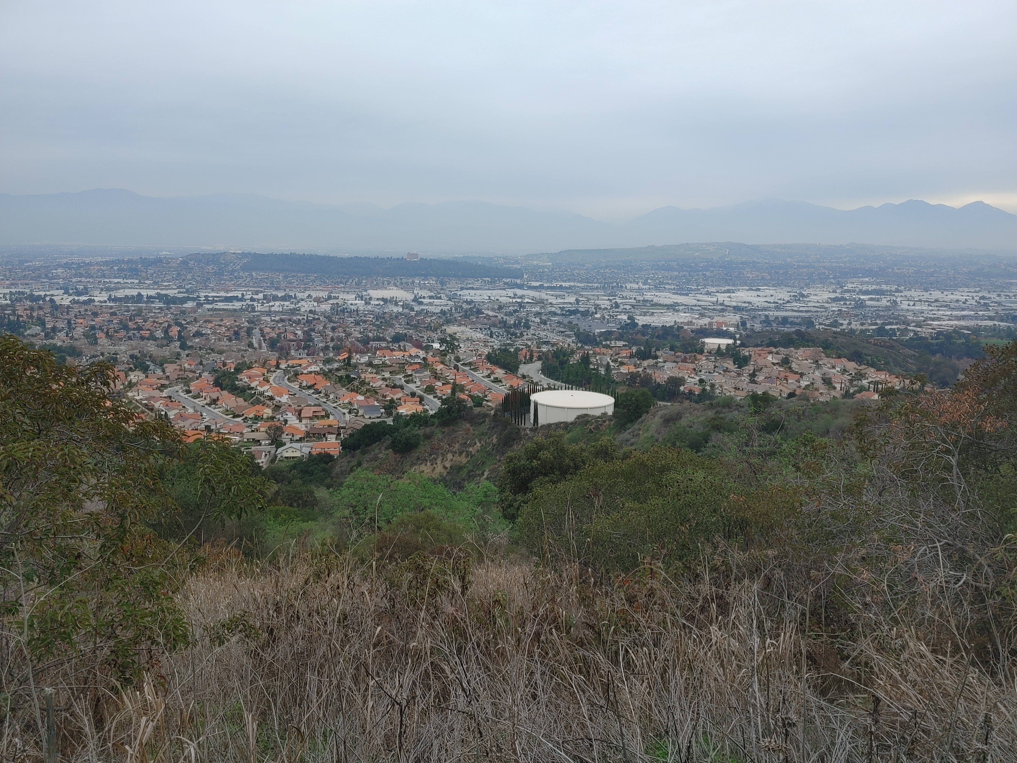
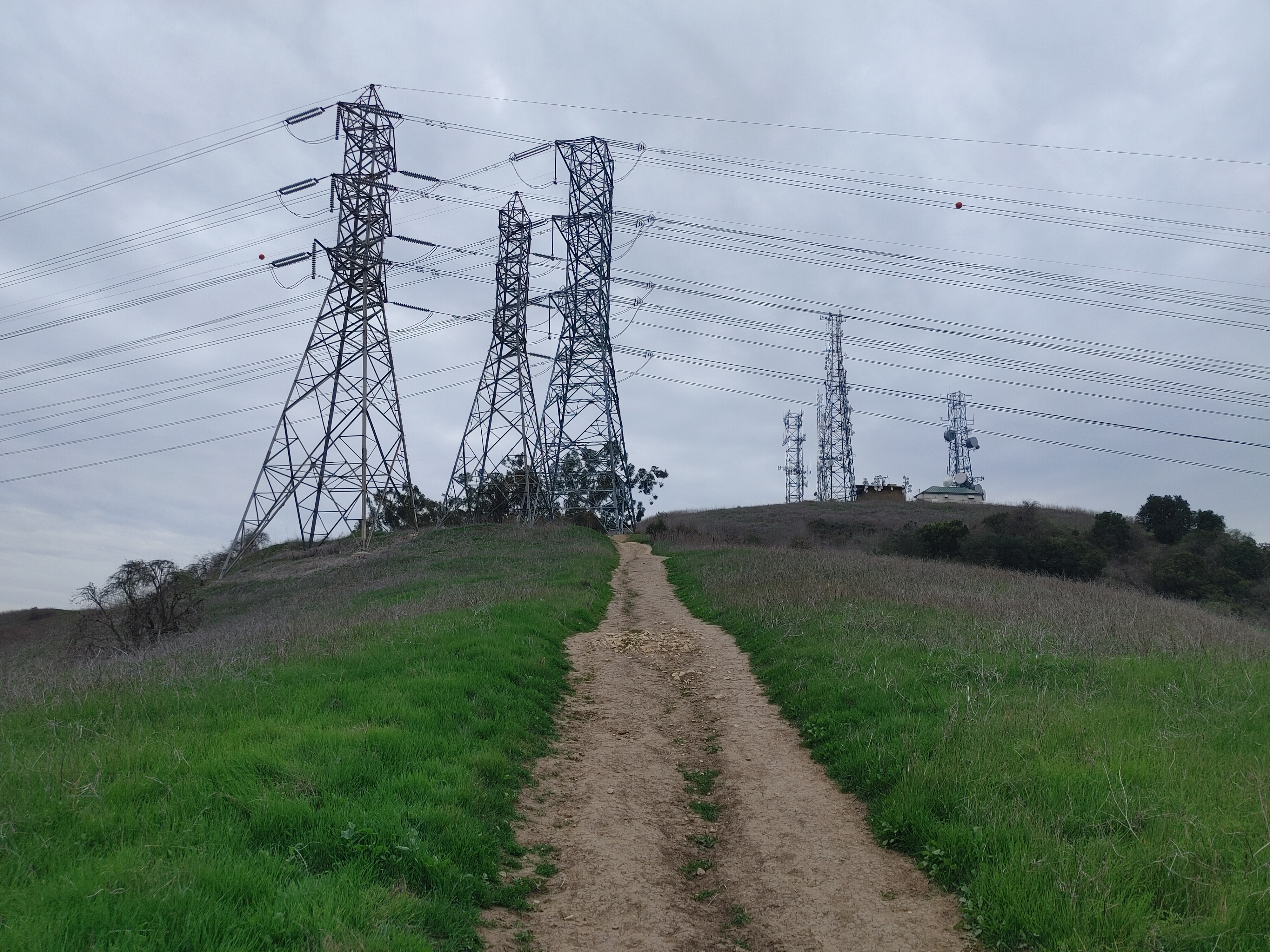
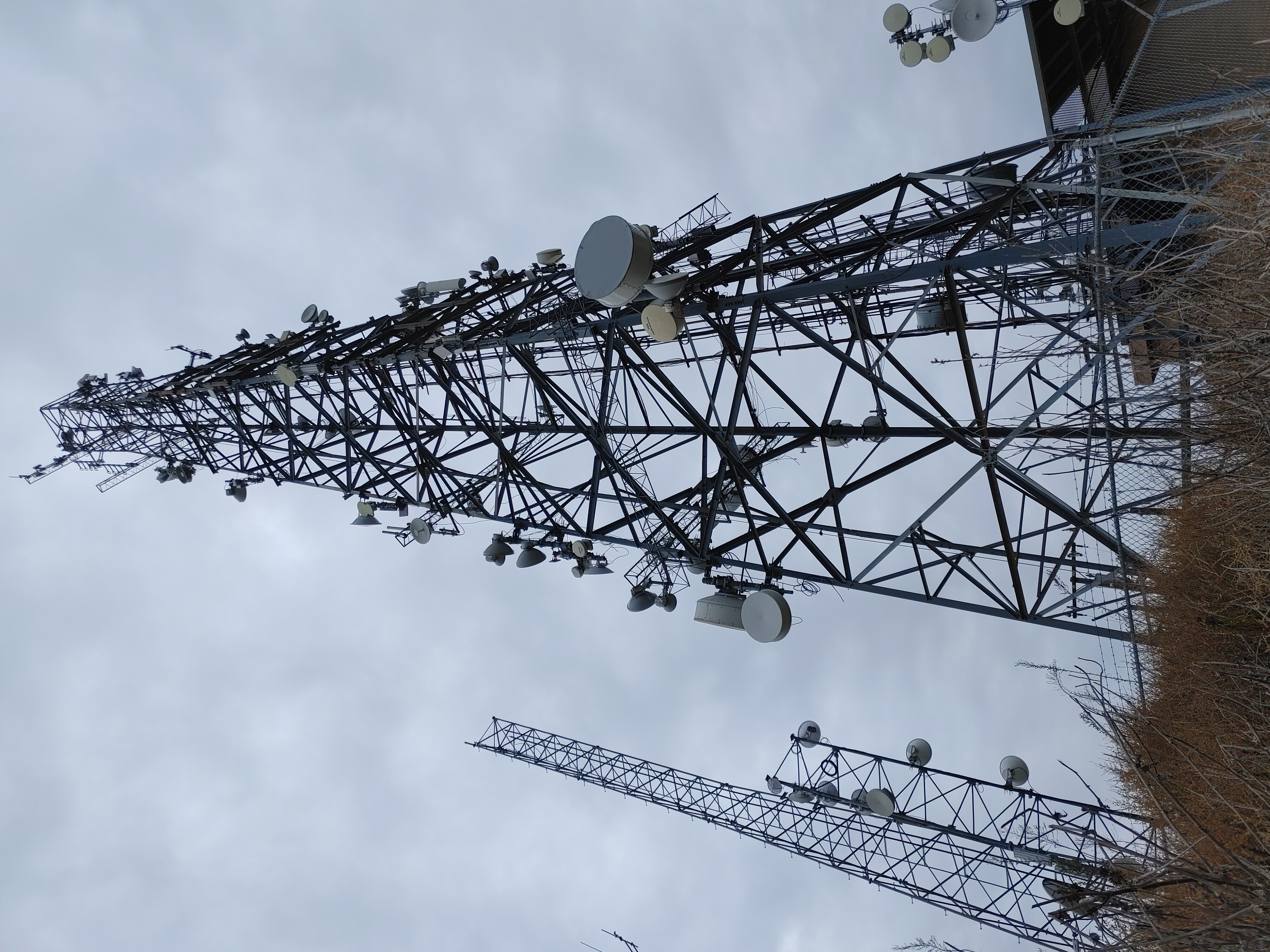
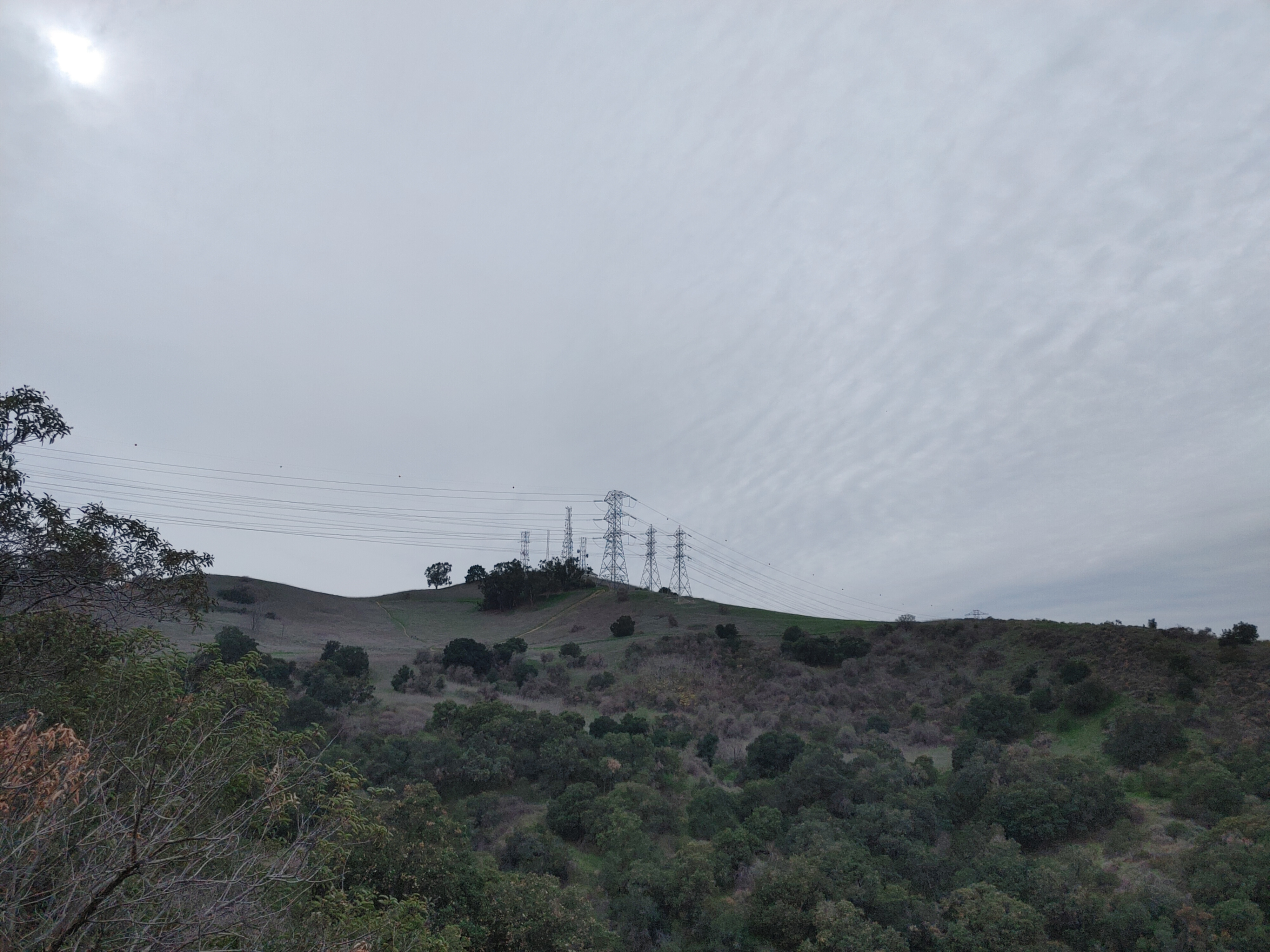
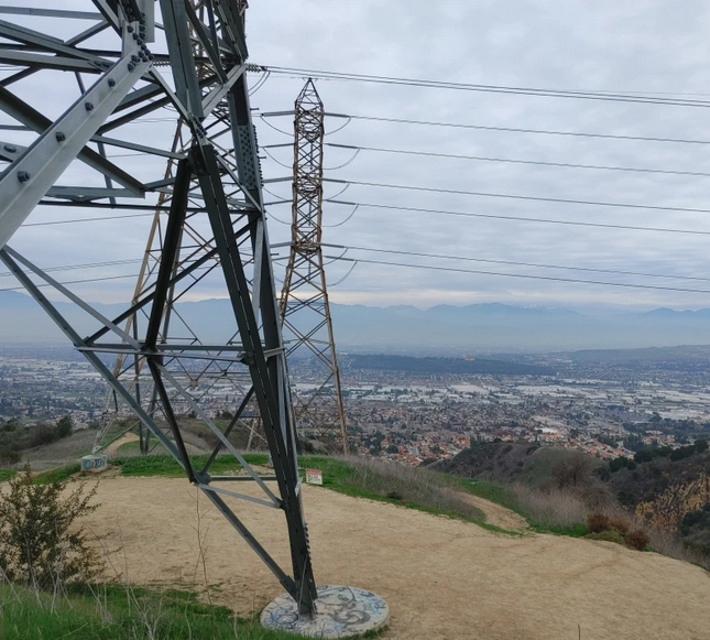
Just before you reach the peak, the trail will fork into two paths: a gentle, family friendly curving slope, and a semi-steep stairway of dirt footholds beneath an electrical tower. At the top, you’ll be up close and personal with the power lines, a lot of scrub brush and the very cool, fenced-off radio transmitter site for 97.5 FM KSSE. From around it you can see much of the East SGV looking to the North, and La Habra and Whittier looking South.
Note: if you park a vehicle in the park, there are admission fees on weekends and holidays.
Streetsblog’s San Gabriel Valley coverage is supported by Foothill Transit, offering car-free travel throughout the San Gabriel Valley with connections to the Gold Line Stations across the Foothills and Commuter Express lines traveling into the heart of downtown L.A. To plan your trip, visit Foothill Transit. “Foothill Transit. Going Good Places.”
Sign-up for our SGV Connect Newsletter, coming to your inbox on Fridays!

Streetsblog has migrated to a new comment system. New commenters can register directly in the comments section of any article. Returning commenters: your previous comments and display name have been preserved, but you'll need to reclaim your account by clicking "Forgot your password?" on the sign-in form, entering your email, and following the verification link to set a new password — this is required because passwords could not be carried over during the migration. For questions, contact tips@streetsblog.org.