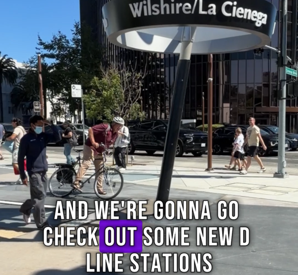
Caltrans SGV District Collecting Public Comments for Active Transportation Plan
The Caltrans District representing Los Angeles and Ventura Counties is developing an Active Transportation Plan along its highway system.
The district 7 plan will identify locations for bicycle and pedestrian improvements on, across, or parallel to the state highway system. According to the project website, the plan’s goals are to “strengthen and connect local active transportation networks and improve safety and access for people,” with an emphasis on “social equity, partnerships, and robust engagement.”
A survey is currently live and allows people to map out where they have bicycling and walking concerns along a 1/4 mile buffer around a state highway. The deadline to have feedback considered for the District 7 plan is tomorrow, July 31, said Cuong Phu Trinh, Caltrans District 7, Senior Transportation Planner.
Even though the consultant hired to develop the plan will only look at the data as of July 31, the survey will remain open for the public to fill out until all 12 Caltrans districts have completed their district plan, which could be up to one to two years, said Trinh. Any new data inputted into the survey after the deadline can and will be used by Caltrans staff to develop future projects, Cuong said.
“We do look at the (California Active Transportation) plan data to recommend locations where our team can look at the projects and look at the comments on how to create solutions in that area,” Cuong added.
The survey is available in English and Spanish.
This districtwide plan is one of 12 happening throughout the state. As a result of Caltrans adopting its bicycle and pedestrian plan, the statewide plan called for the development of district-level active transportation plans to identify bicycle and pedestrian needs at the local level.
The district-level active transportation plans are expected to ultimately lead to an increase in active transportation projects to support a shift in mode-share to active transportation trips. They are also intended to identify opportunities to reconnect communities where transportation facilities have historically created community barriers.
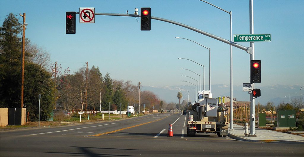
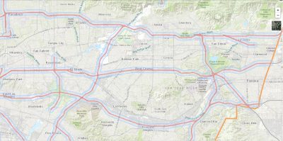
The San Gabriel Valley is home to roughly 11 routes under the state highway system. While most are well known freeways, like the 10 and the 710, other routes owned and operated by Caltrans are city streets. These include a small portion of Foothill Boulevard in La Verne, and Rosemead Boulevard/State Highway 19 between Linden Lane and Gallatin Road, just before Beverly Road.
SBLA San Gabriel Valley coverage, including this article and SGV Connect, is supported by Foothill Transit, offering car-free travel throughout the San Gabriel Valley with connections to the new Gold Line Stations across the Foothills and Commuter Express lines traveling into the heart of downtown L.A. To plan your trip, visit Foothill Transit. “Foothill Transit. Going Good Places.”
Sign-up for our SGV Connect Newsletter, coming to your inbox on Fridays.

Read More:
Streetsblog has migrated to a new comment system. New commenters can register directly in the comments section of any article. Returning commenters: your previous comments and display name have been preserved, but you'll need to reclaim your account by clicking "Forgot your password?" on the sign-in form, entering your email, and following the verification link to set a new password — this is required because passwords could not be carried over during the migration. For questions, contact tips@streetsblog.org.