Ojai Readies a Protected Bike Lane Demonstration on a State Highway
Note: GJEL Accident Attorneys regularly sponsors coverage on Streetsblog San Francisco and Streetsblog California. Unless noted in the story, GJEL Accident Attorneys is not consulted for the content or editorial direction of the sponsored content.
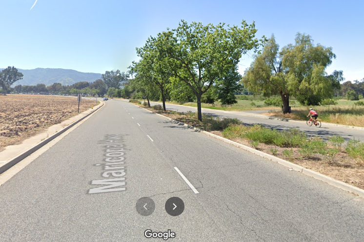
The city of Ojai received a $430,000 grant from the Southern California Association of Governments (SCAG) to test a protected bike lane along the Maricopa Highway leading out of town, past the local high school and the Ojai Meadows Preserve, a restored wetlands area featuring hiking trails.
The project will reallocate space along 3/4 of a mile of the highway to add a bike lane, curb extensions, and temporary planters. The bikeway will connect at one end with the Ojai Valley Bike Trail, and will also serve the local high school as well as the preserve.
It’s the first on-street protected bikeway in Ojai. The city’s plan is to test out the concept with relatively inexpensive materials that can be adjusted or removed if necessary, and to help inform the design of more permanent construction.
By eliminating one of two travel lanes in each direction, the project will also add more street parking along the stretch of highway. While parking is not in high demand here, except for certain big events like Fourth of July and high school festivals, parking will offer a buffer between bike riders and cars traveling along that stretch of road.
It’s been postponed a few times, but the work should start around December 7. Volunteers are invite to sign up to help out with some of the tasks such as prepping planters, planting them, and painting conflict zones green. The plan is to finish the quick-build by December 12.
The project is on a state highway, which is controlled by Caltrans District 7. “Caltrans was really helpful,” said Dana Wall, project lead for Street Plans, the consultancy hired to guide the project. “Although they don’t have much experience with permitting this kind of project yet, as we were getting to know the permitting process, they were figuring out how to help us.”
“We did have to use Caltrans-approved materials, like more durable paint. Other elements, like low-profile delineators and planters, are not yet in their toolkits, so they were neither officially approved nor disapproved,” said Wall. “But they definitely see the value in doing demonstration projects.”
“Quick-build” methods, while still new, are seeing a lot of interest in California and elsewhere. Benefits of creating short-term testing of new infrastructure elements is becoming clear to cities and agencies as they shift street design towards safely accommodating all users, not just car drivers. The process also allow them to quickly implement safety projects while longer-term planning continues, and they can test ideas with cheap materials that can be moved, adjusted, or improved as needed. Also, evaluation of the successes and failures of these pilots can provide valuable information for improving more permanent projects.
This year, the state’s Active Transportation Program plans to fund some quick-build demonstration projects to help cities and Caltrans gain more experience in permitting, designing, and evaluating their effectiveness.
The Ojai project is not funded by the ATP, but it will nevertheless help further state practice and knowledge on demonstrations and quick-builds.
Wall says that Street Plans does “a lot of tactical urbanism” involving pop-up demonstrations with different durations, from super temporary setups that last only a few days to projects like this one, which will be tested for six months.
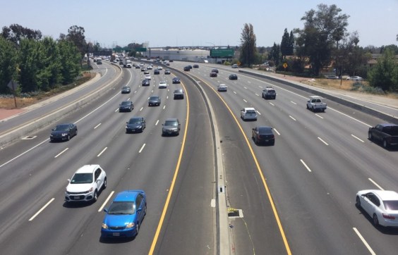
Currently, there are no bike lanes on that stretch of highway, and on the northbound side in some sections all the room is given over to the travel lanes – there is no parking, and little extra space on the right. A curbed and landscaped median with mature trees limits a major redesign, but reassigning one of the travel lanes on each side leaves plenty of room for the protected bikeway, a buffer, and even some new parking spaces.
The city had completed a traffic impact analysis of the area and found no potential negative impacts of narrowing the road down to one lane as it approached town. “We’ll be monitoring that,” said Wall, “and we’ll see what the project reveals” before anything permanent is constructed.
Street Plans works on projects throughout the U.S. The consultancy has published a Tactical Urbanist Guide to materials and design for demonstration and pilot projects, a guide for adapting streets for pandemic response and recovery, and one on Asphalt Art to beautify streets and intersections. They have also completed a study on quick-build for transit, including testing temporary bus-only lanes.
As experience grows within cities and agencies, the quick-build process should become a normal procedure. “Cities are starting to internalize this process instead of relying on advocates and consultants like us,” said Wall. “They are starting to standardize how to do this, from soliciting ideas to which materials to use, whereas previously these kinds of things were a little more guerrilla.”
“The more we help cities internalize these processes – we are almost consulting ourselves out of a job,” she added. “But that’s almost the goal – convincing traffic departments that this stuff works and its valuable to invest in.”

Streetsblog has migrated to a new comment system. New commenters can register directly in the comments section of any article. Returning commenters: your previous comments and display name have been preserved, but you'll need to reclaim your account by clicking "Forgot your password?" on the sign-in form, entering your email, and following the verification link to set a new password — this is required because passwords could not be carried over during the migration. For questions, contact tips@streetsblog.org.