Advice for Turning Dangerous State Roads Into Safe City Streets

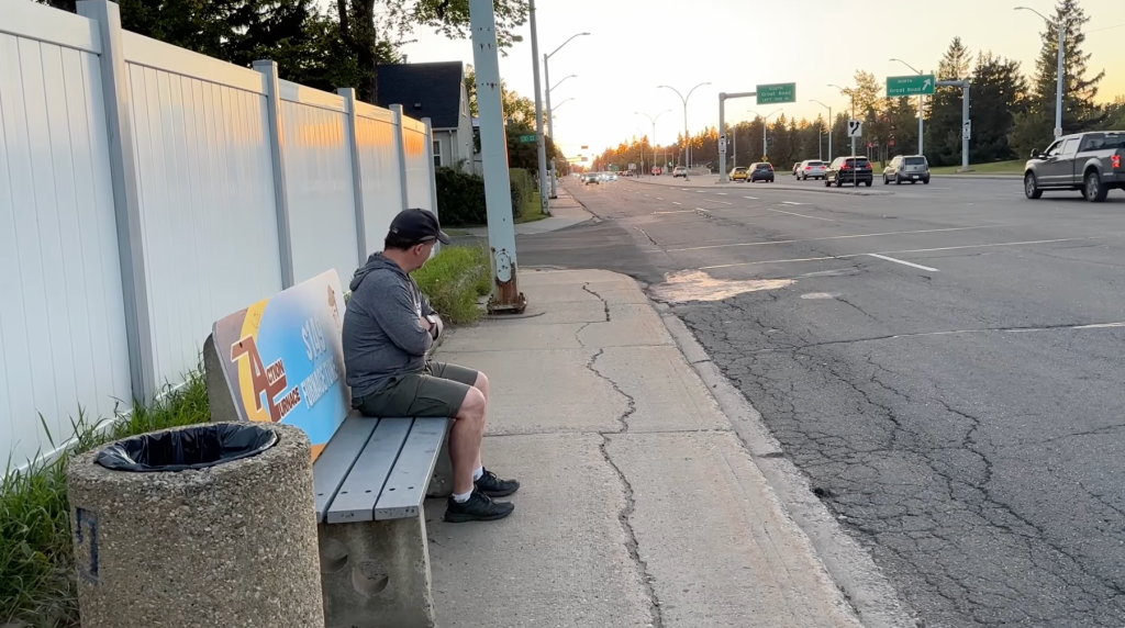
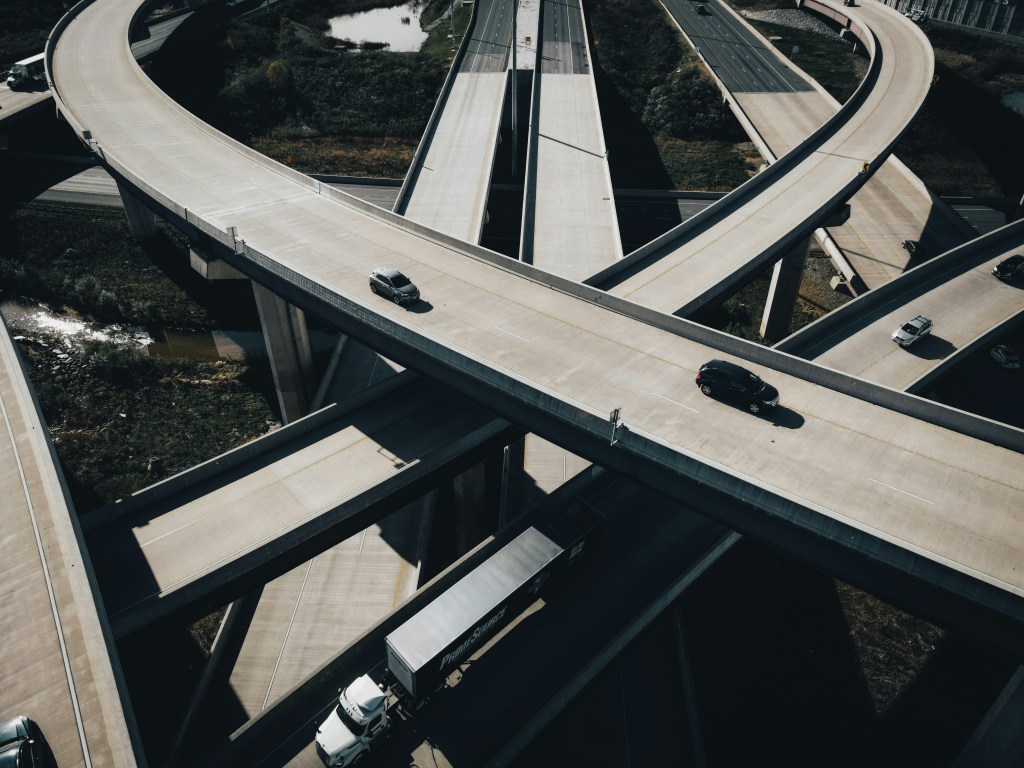
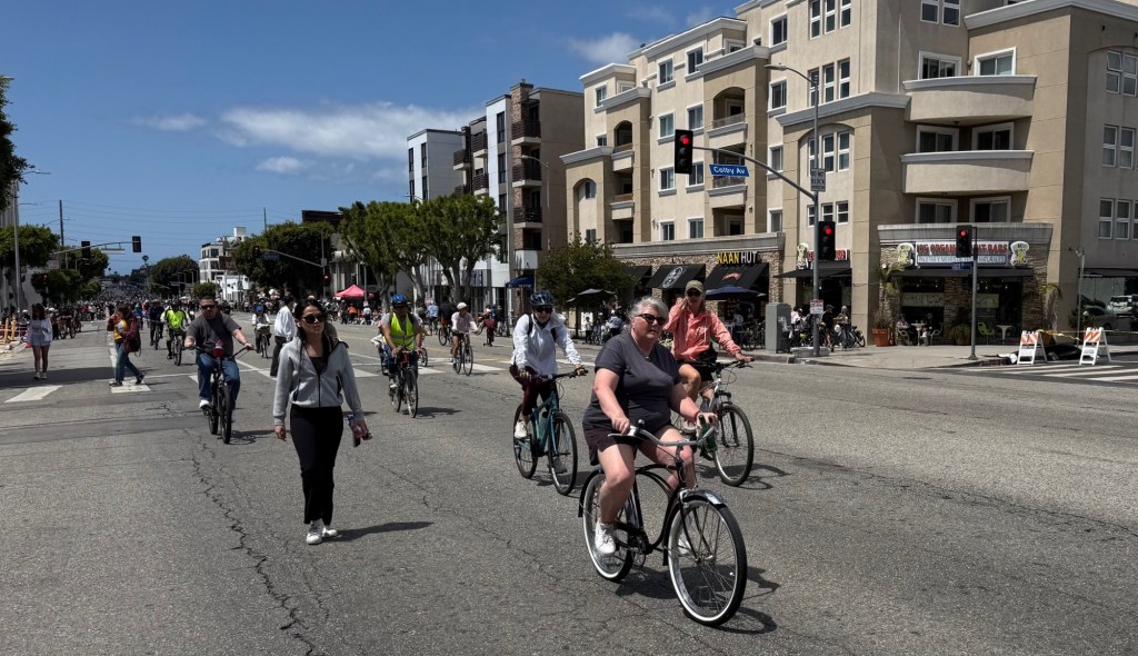
It’s extra challenging to redesign a city street for safe walking and biking when that street is controlled by the state DOT. State highway departments tend to be concerned primarily with funneling cars long distances — not creating streets that meet local needs.
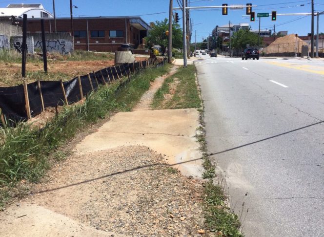
That’s the case with Memorial Drive in Atlanta, a dangerous state road that runs more than five miles across the city. Despite a general consensus that the street should be safer for walking, several patchwork local plans have yet to comprehensively address the hazards. But now an effort to tie everything together and work with the state DOT on the whole length of this urban thoroughfare is making headway.
Darin Givens of ThreadATL interviewed Greg Giuffrida of Central Atlanta Progress, who is leading the campaign to overhaul Memorial Drive. He offered this advice:
With [Georgia DOT], it’s difficult to go to them and say ‘we want to change this one mile of road’ — they look at the whole route. They’re running a statewide and regional transportation network. And if you’re not framing things in a way that responds to that, you’re probably not going to have as much luck as you could in getting the kinds of changes you want to see on the road.
The full post is well worth a read for anyone working to change a state road that runs through your neighborhood. Givens concludes with these thoughts:
Neighborhoods have to follow a separate route — often a long and complex one — to get changes made to those state routes. Sometimes you have to work through the local community improvement district as a channel for public engagement, rather than city officials. For the sake of safety and good connections for pedestrians and cyclists, it’s worth the effort. We shouldn’t throw our hands up and say “well it’s a state road, so we’re helpless.” But we have to know the differences and the details in order to make our voices heard and our efforts count.
More recommended reading today: Pricetags considers how streets designed for speed are especially unforgiving for people who use wheelchairs. And the Urban Edge reports on a study of job access challenges for carless workers in greater San Diego.

Streetsblog has migrated to a new comment system. New commenters can register directly in the comments section of any article. Returning commenters: your previous comments and display name have been preserved, but you'll need to reclaim your account by clicking "Forgot your password?" on the sign-in form, entering your email, and following the verification link to set a new password — this is required because passwords could not be carried over during the migration. For questions, contact tips@streetsblog.org.