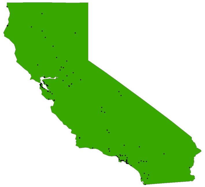
Caltrans' Pedestrian and Bicycle Safety Branch has been working with SafeTREC, UC Berkeley's Safe Transportation Research and Education Center, on a couple of projects to increase safety. The researchers are asking for locally collected data on the number of pedestrians and bicycles using state highways and local arterials roads.
The counts will be used to help develop and improve two pilot programs, one focused on pedestrian safety improvements and one on bicycle safety. They are specifically looking for recent counts (within the last five years) at crossings and road segments for durations of two or more hours. See the end of this post for more information.
The pilot Pedestrian Safety Improvement Monitoring Program [PDF] has already identified 129 locations statewide that have a high number of collisions with pedestrians, based purely on crash data. These locations are now being investigated by the district offices to understand causes and to identify potential ways of reducing those crashes.
A similar Bicycle Safety Improvement Monitoring Program is being developed by the Caltrans Pedestrian and Bicycle Safety Branch and will be rolled out in 2018.
The district offices will suggest improvements that go beyond merely prohibiting bikes and pedestrians, which has unfortunately been the case sometimes when safety issues are raised. Instead, Caltrans headquarters provided a list of low-cost measures the districts can consider, including signs and striping improvements (crosswalks, advanced stop line, or parking restrictions at crossing locations), traffic signal improvements, and roadway design improvements such as raised medians, refuge islands and bulb-outs.
Because safety is Caltrans' top priority, these projects should be expedited through Caltrans' funding and delivery process.
The first round of the program just used collision data to identify likely locations, in order to get safety improvements on the ground sooner. The crash data comes from state databases. That data has its drawbacks, including age of the data and difficulty of extracting details. Rachel Carpenter, Caltrans Pedestrian and Bicycle Safety Chief, hopes to improve the information both by combining it with on-the-ground counts and possibly with public health data. A program being developed by the Department of Public Health, for example, compares CHP crash data with emergency room data to get a better idea about crash causes and outcomes.
Carpenter found out about that program through her involvement in the California Strategic Highway Safety Plan’s Pedestrian Challenge Area. See—these seemingly wonky efforts do pay off.
Future rounds of the program will incorporate whatever data they can get from locals, as well as lessons learned from this first round. Current plans are to begin a second round of the pedestrian pilot in 2019.
Caltrans doesn't have the capacity to routinely count pedestrians and bike riders at every intersection and segment of the state highway system. Generally planners use statistical models to estimate volumes at specific locations, but the models work better with larger sample sizes. That's why they are turning to local jurisdictions for help.
Adding local bicycle and pedestrian count information will help give a sense of the risk associated with high-collision areas based on exposure—that is, how many collisions occur per person walking or biking. But low counts could also eventually help identify locations that are not deemed safe and therefore avoided by people on foot and on bike—places that could also benefit from safety improvements.
Send counts, and questions, to SafeTREC researcher Julia Griswold (juliagris (at) berkeley.edu) and Caltrans Pedestrian and Bicycle Safety Chief Rachel Carpenter (rachel.carpenter (at) dot.ca.gov).


