Note: GJEL Accident Attorneys regularly sponsors coverage on Streetsblog San Francisco and Streetsblog California. Unless noted in the story, GJEL Accident Attorneys is not consulted for the content or editorial direction of the sponsored content.
"But nobody uses the bike lanes we have now," or some version of it, is a refrain heard from opponents of safe-and-livable streets. The battle over Slow Lake Street in San Francisco, made permanent earlier this month after a years-long fight, was no exception.
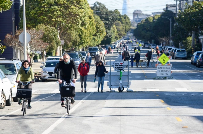
"You can always can get a picture of an empty street," said a Slow Lake advocate who lives in the Richmond District (he asked Streetsblog to withhold his name because of his employer's policy). "The whole debate was very data-free. We were saying the street is well used and there's hundreds of pedestrians and cyclists, the other side was saying the opposite." Both were providing pictures to support their arguments.
Of course, the SFMTA can put sensor strips across the streets to measure traffic and pay people to stand there counting cars, bikes, trucks, and pedestrians. But that's expensive, time consuming, and the counts quickly become outdated.
Slow Lake supporters realized they needed some way to quantify what was happening on Lake Street, on California Street, and other streets in the ongoing fight over how the city prioritizes the space between buildings. Friends of Slow Lake and other advocates started looking for something akin to PurpleAir, the crowd-sourced provider of air quality information. The group discovered a low-cost solution from Telraam, an open-source product spun off by traffic researchers at the University of Leuven in Belgium.
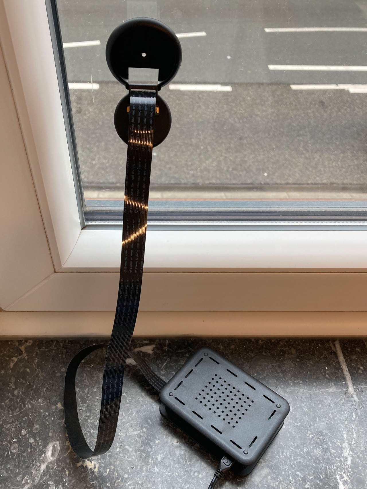
The device uses a Raspberry Pi computer. A seen in the above image, it "looks" out the window at the street, and counts pixels generated by things moving past. The information is fed back to servers which calibrate the information and then, using artificial intelligence, figure out when a bike passes, or a person, or a car or truck--and how fast they're going.
Kris Vanherle, a transport policy consultant and researcher with Telraam, explained that it's historically been very difficult to quantify how many cars and trucks are going through a given intersection and at what speed. That's key to designing intersections and streets appropriately. "Half our budget was going to data purchases," he explained. "We were fed up with that."
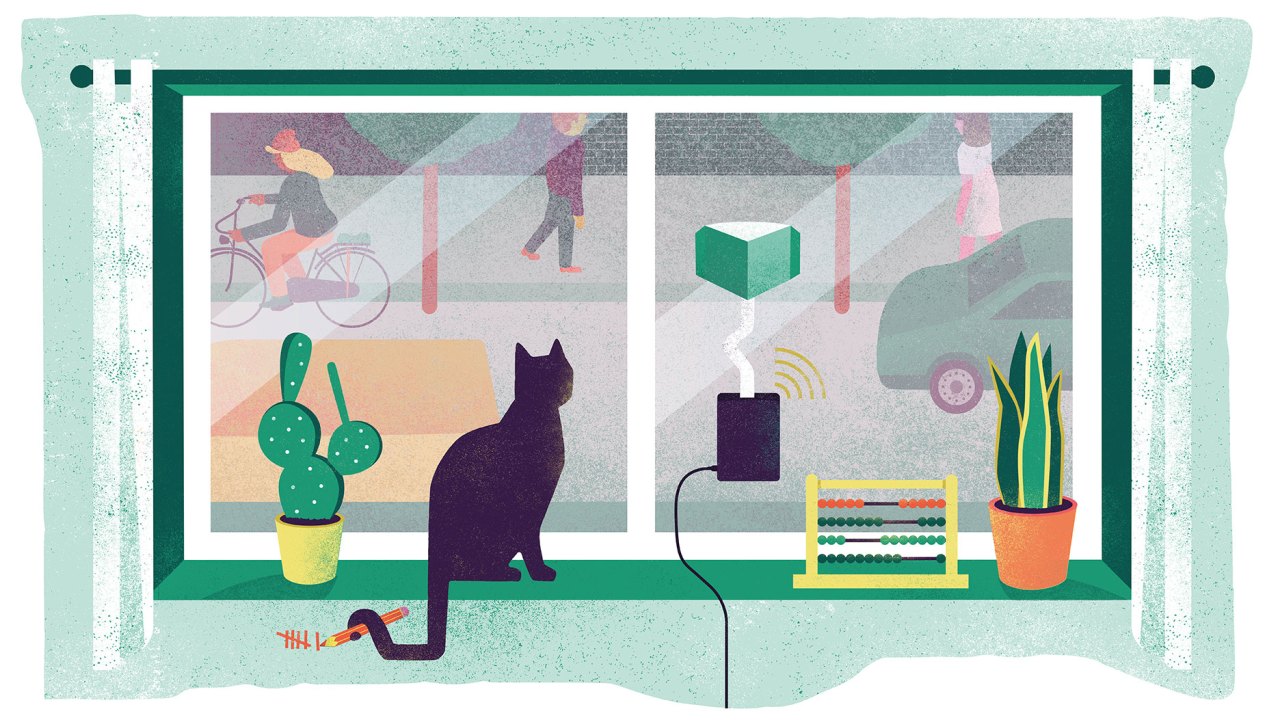
It was also frustrating, just as in the U.S., that local residents would complain of too much speeding, but it was often tricky to quantify. "If you have objective data you can start a discussion."
Vanherle and the other researchers realized local advocates were already standing around counting cars to make their case for safety treatments. So what if they could provide them with a tool? As long as the data was shared, it would get Vanherle and his consultants the information they needed for their research.
"We ended up with 100 sites; no issues finding volunteers" to put the sensors in their windows, Vanherle told Streetsblog. They counted traffic manually and compared it to the information they were getting from the devices. "To our surprise it worked. And we got contacted by local municipalities in Belgium and the Netherlands who said they also need this kind of data."
That pattern seems poised to repeat in the U.S. thanks to the Slow Lake fight.
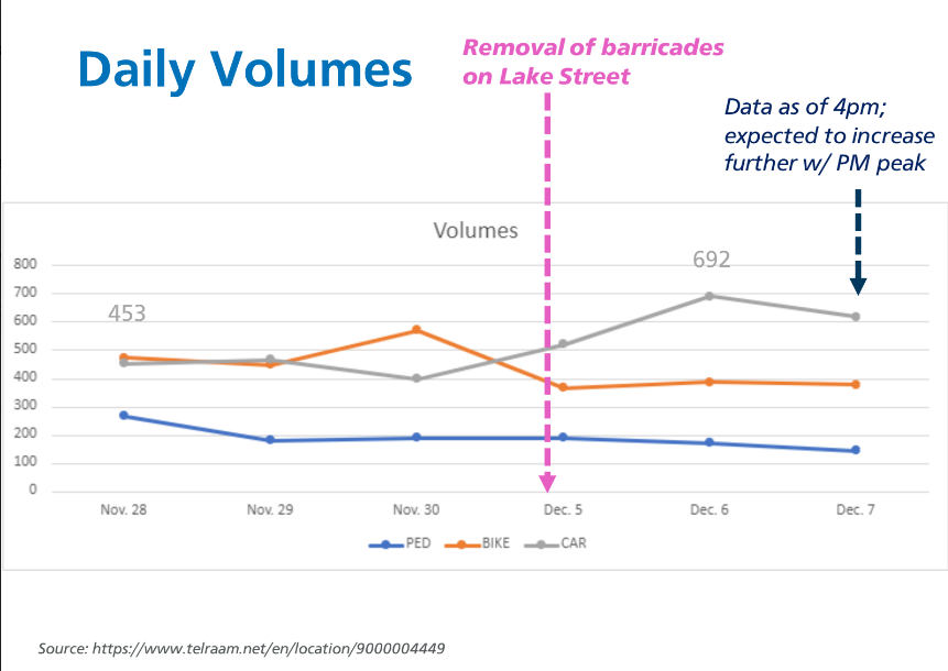
Slow Lake advocates used a Telraam to quantify the changes that took place when SFMTA removed the Slow Street signs shortly before the vote. The advocates said people immediately started noticing speeding and cut-through traffic, but thanks to the Telraam installation they had a way to quantify it. "It just shot up the day after the barricades were removed," said the Slow Lake advocate.
And just like their municipal counterparts in Belgium, staff from SFMTA took notice of this new data source. Here's a page from an SFMTA report that used the new Telraam data:
Vanherle said they're working on more sophisticated iterations of the device to improve accuracy and so users can double check the readings in real time. "It will have a screen and show a live count, so if a car passes by you’ll see the counter go up or down." Someday they hope it can even identify things such as close-calls between vehicles and cyclists.
For now, the technology adequately measures traffic type and volume and the level of speeding, without doing anything to ID the offenders. And Vanherle said SFMTA officials have now contacted him about getting sensors of their own. "If this works in San Francisco, we’ll get a lot more attention in the U.S."
