Skip to content
Sponsored

Eyes on the Street: New Taylor Yard Walk/Bike Bridge

Photos of the new Taylor Yard bike/walk bridge - connecting the L.A. City neighborhoods of Elysian Valley and Cypress Park
Eyes on the Street: New Taylor Yard Walk/Bike Bridge
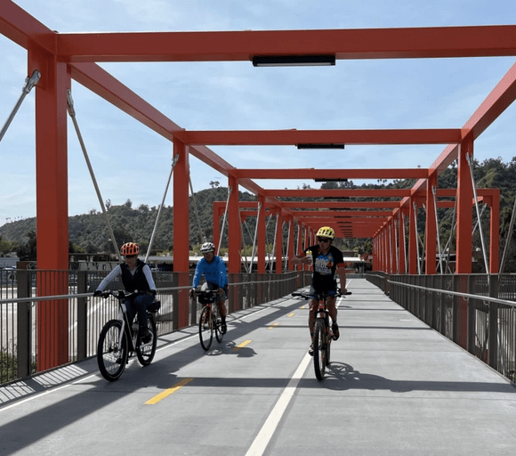
Last Monday’s invitation-only opening didn’t turn out to be a great opportunity for Streetsblog to get to know L.A.’s newly-open Taylor Yard bike/walk bridge over the Los Angeles River. So SBLA went back to the scene earlier today, and took lots more photos of the great new bridge. See last week’s article for more on the history of the project, and the communities it connects.
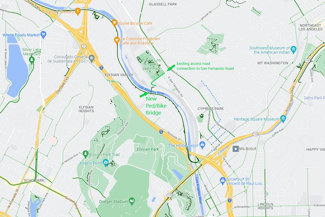
Location of new Elysian Valley L.A. River bridge. Base via Google Maps
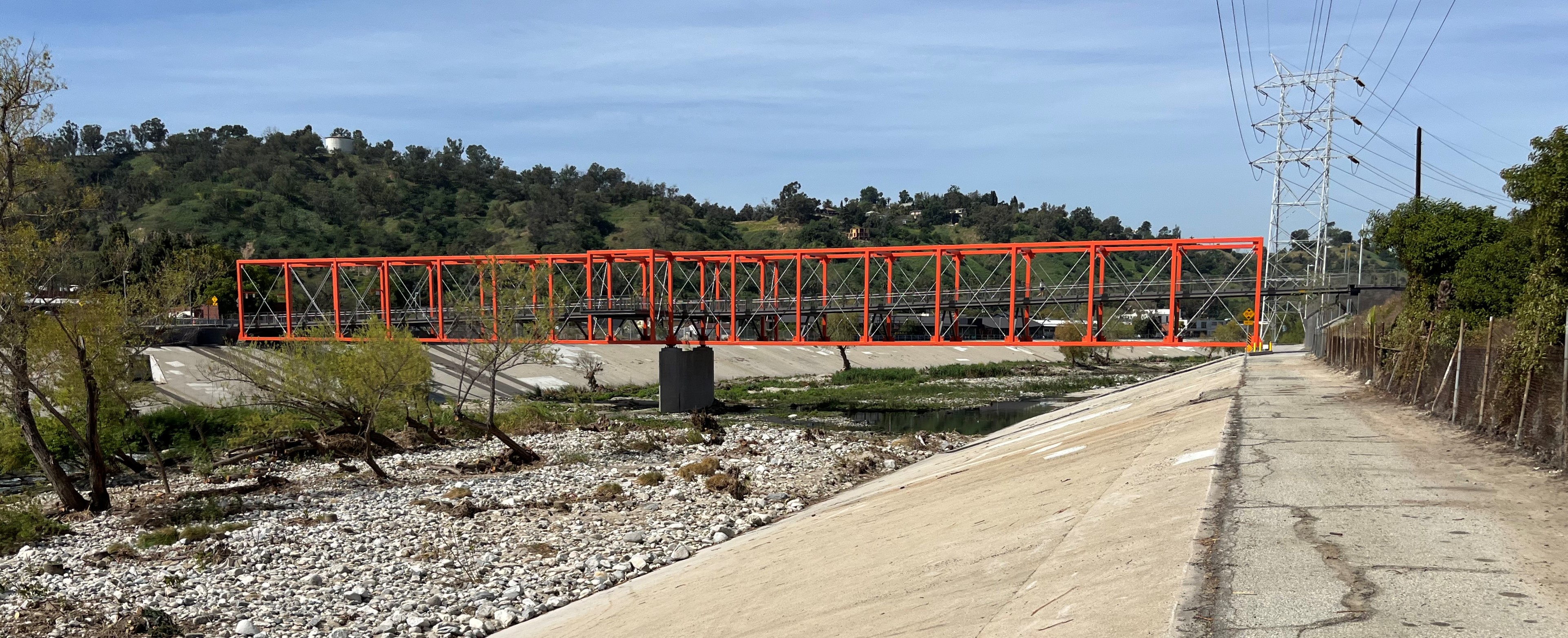
New Taylor Yard bike/walk bridge over the L.A. River in Elysian Valley
approach
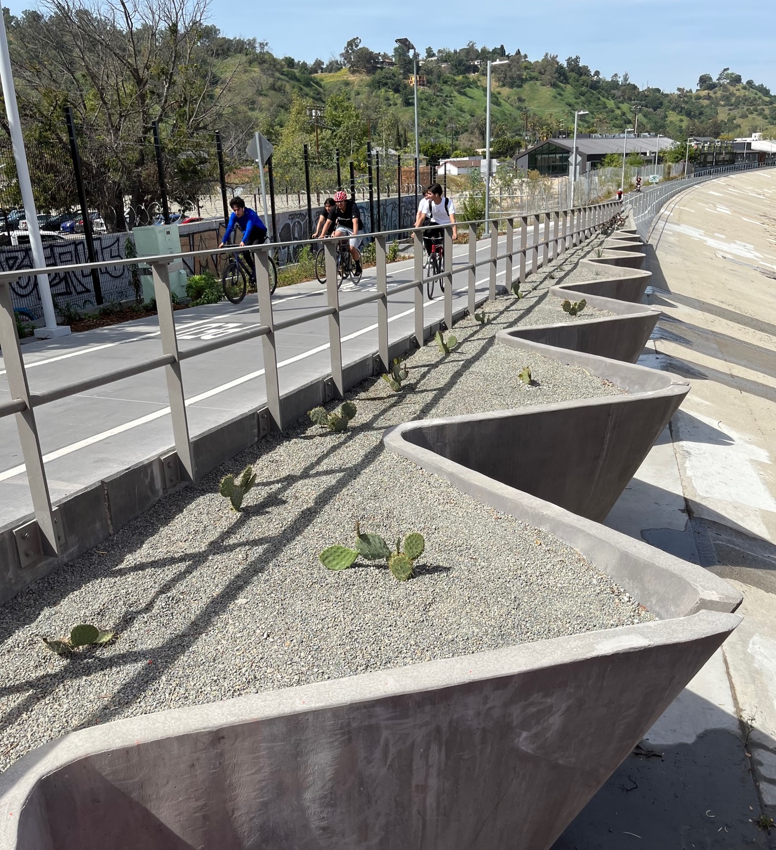
On the southwest (Elysian Valley) side ramp there are sculptural planters with drought-resistant landscaping
belvedere
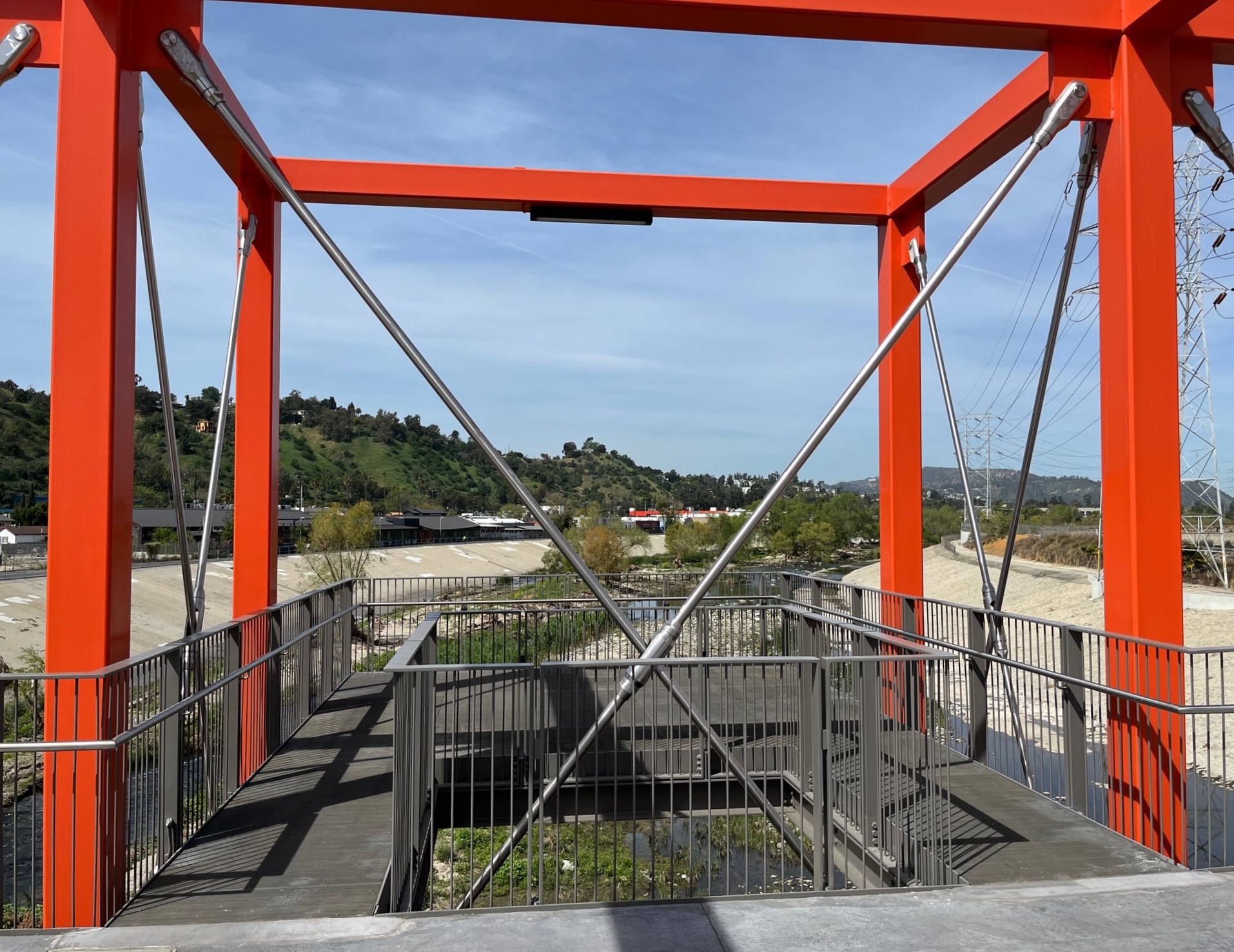
In the middle of the bridge are two viewing platforms – called belvederes
view
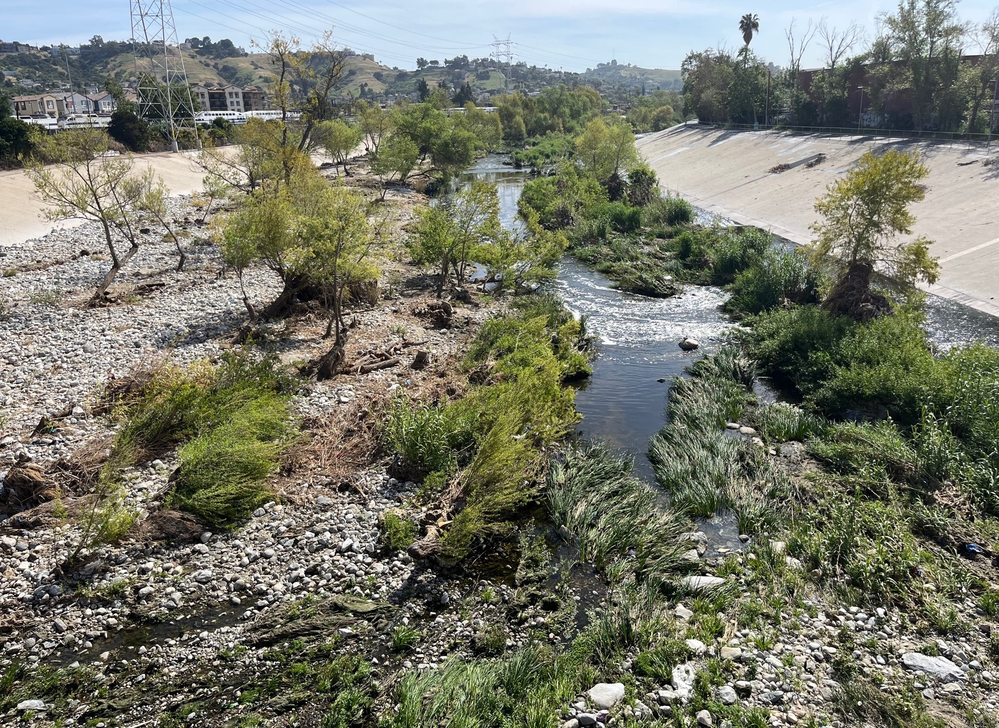
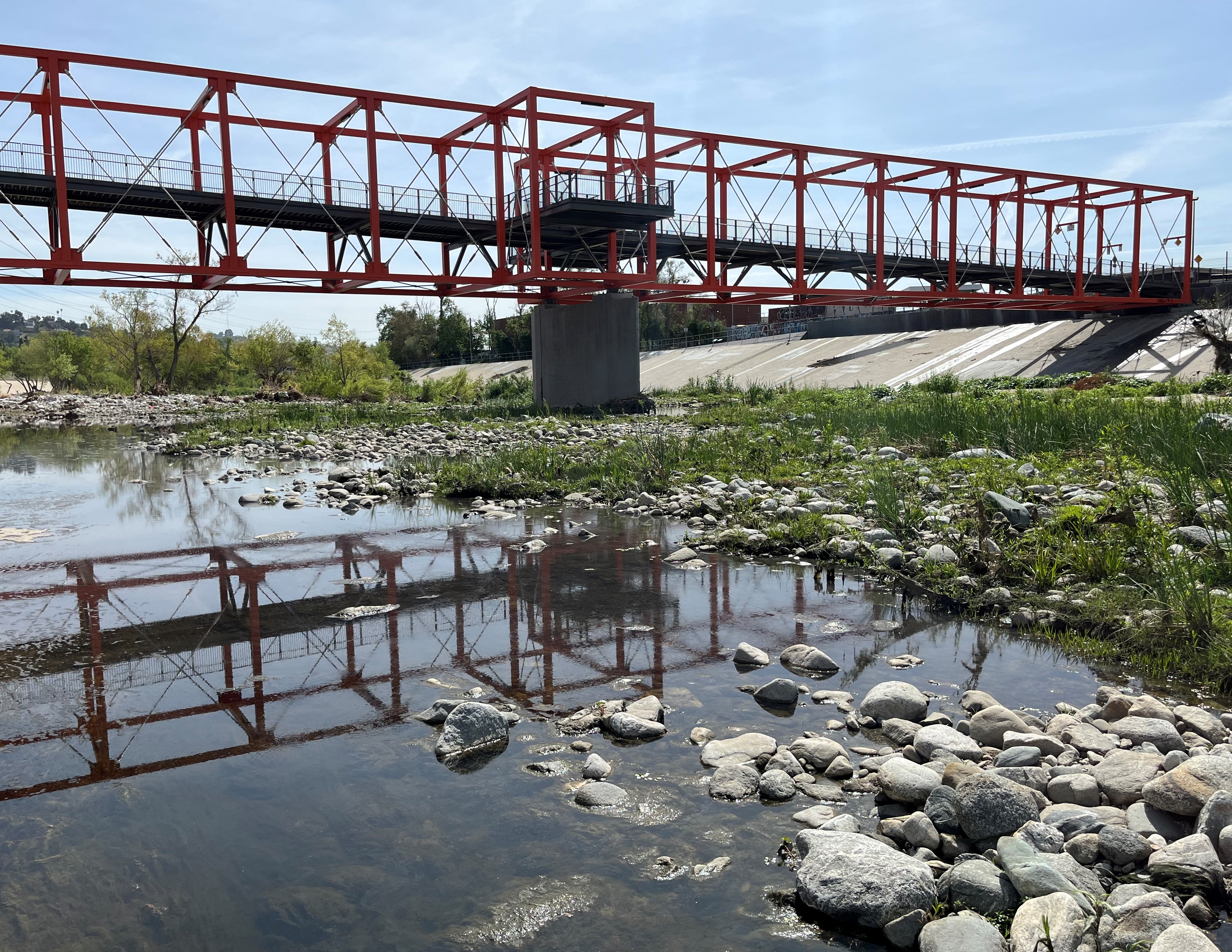
The view downstream from a belvedere. The bridge is located in the eight-mile-long, relatively natural Glendale Narrows stretch of the river. When the river was reinforced to minimize flooding, this area got sloped concrete walls. Springs pushing water up from underground prevented fully encasing the river in concrete, so the earthen bottom area supports an ecosystem harboring tall trees and various birds and fish.
xxx
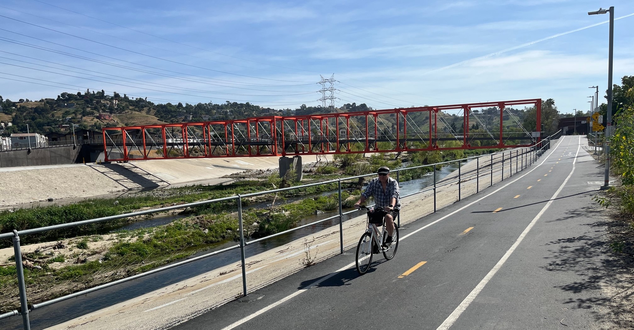
Cyclists of all ages now enjoy the Taylor Yard bridge
xxx
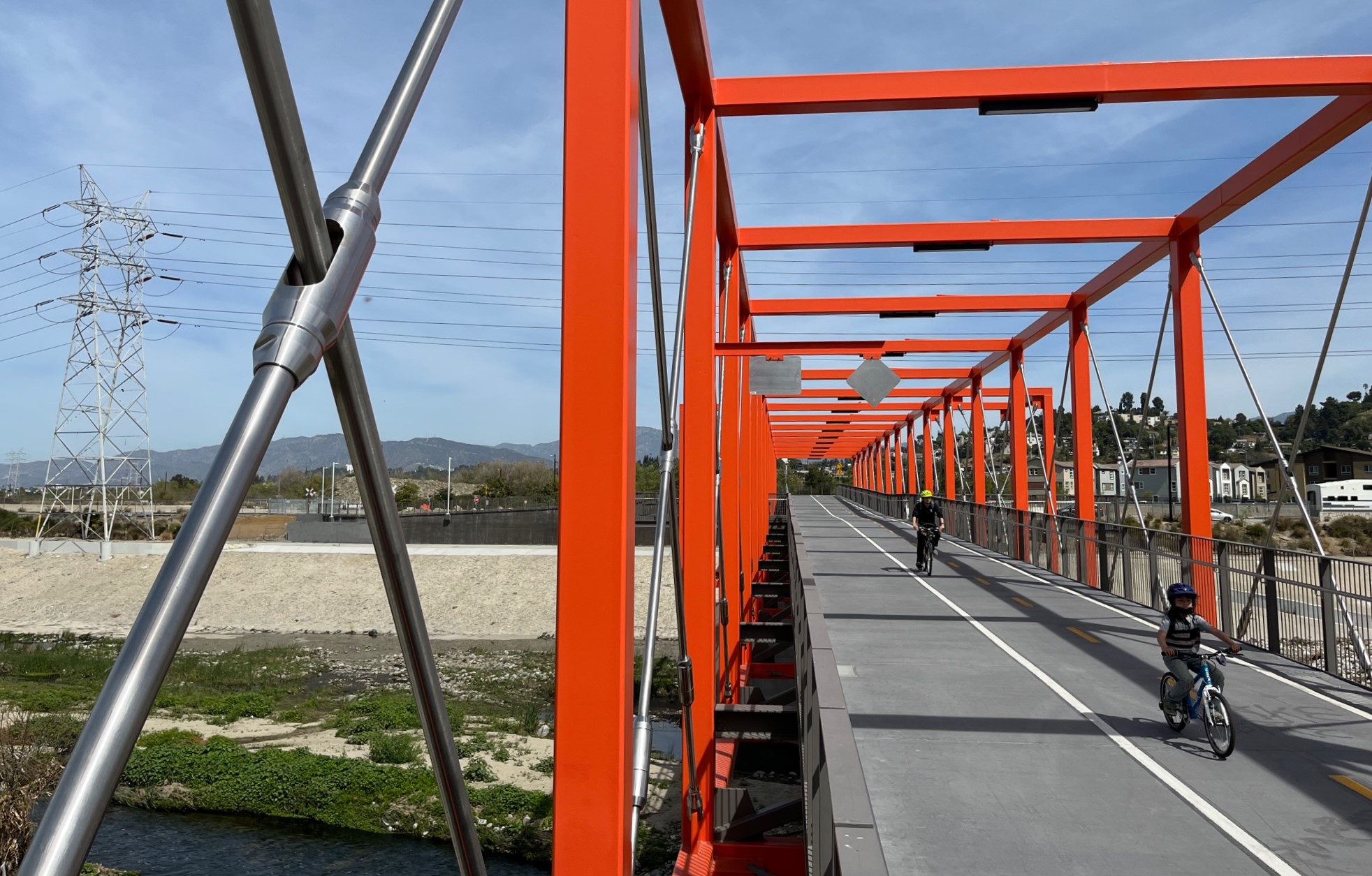
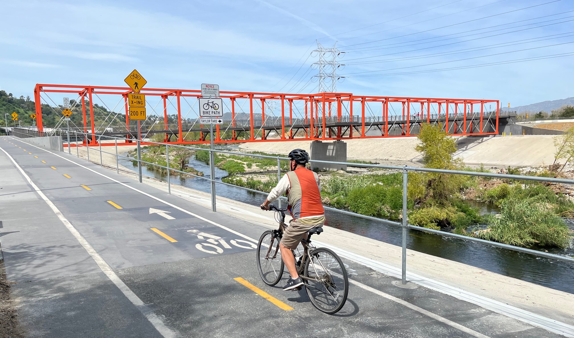
The ~400-foot orange open frame box of the bridge is level/flat, while the path inside the box slopes upward crossing the river south to north (left to right in the above picture.) The slope was apparently needed to allow vehicles to cross below the bridge on the access road on the right.
xxx
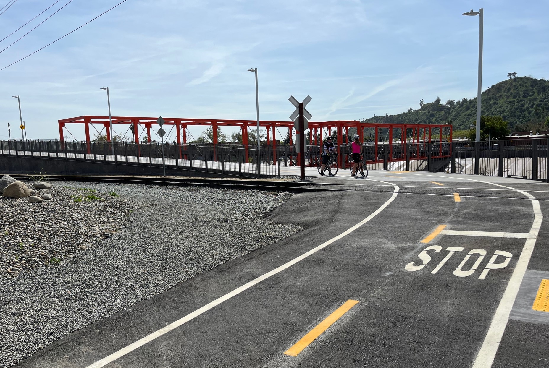
On the north (Taylor Yard / Cypress Park) side of the bridge, the path ramps back down to ground level, crossing an unused spur rail track before meeting up with an access road
sculpture
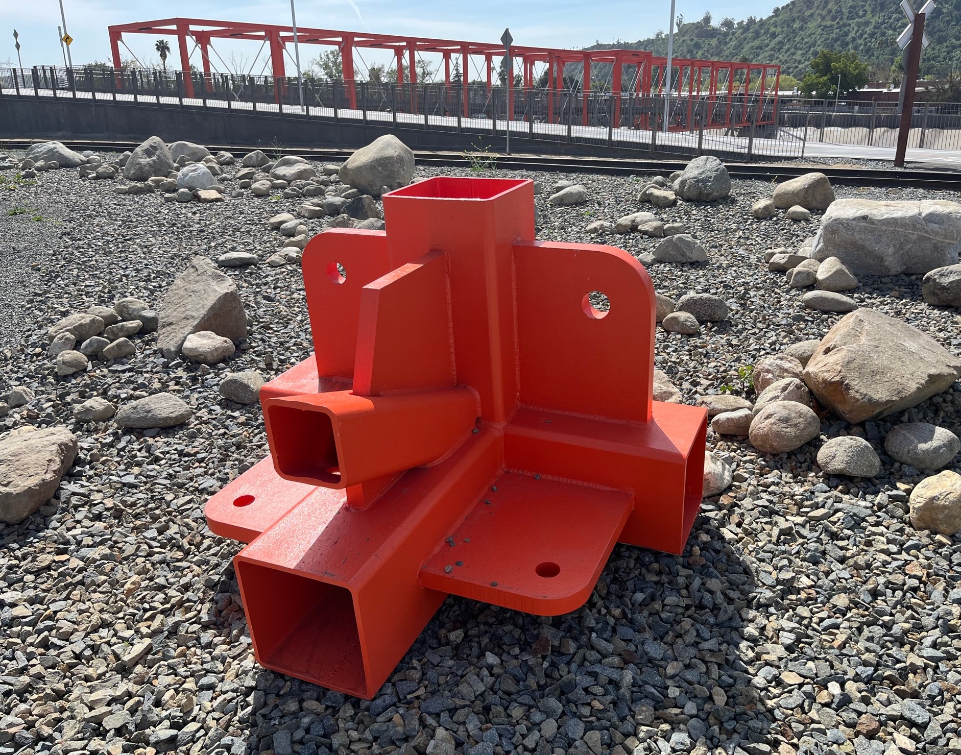
The north side features this metal artifact (sculpture?) that may have been used in the making of the bridge.
xxx
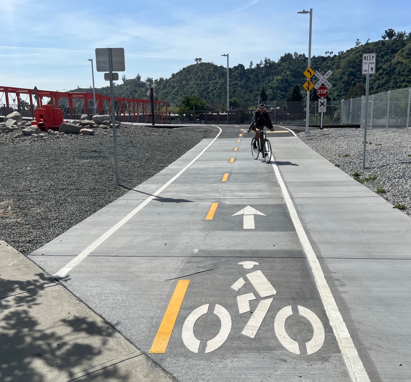
The end of the new bikeway. The bridge combined with the access ramp totals about 700 new feet of bike/walk path.
xxx
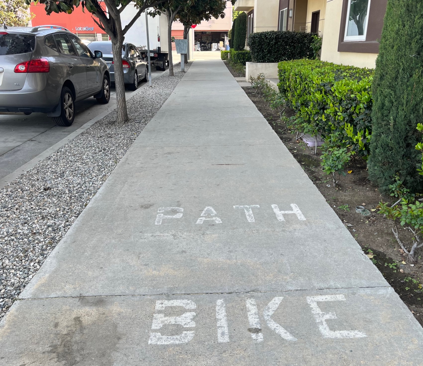
There is an existing concrete path – marked “bike path” – that runs along the east side of the access road extending to San Fernando Road.
xxx
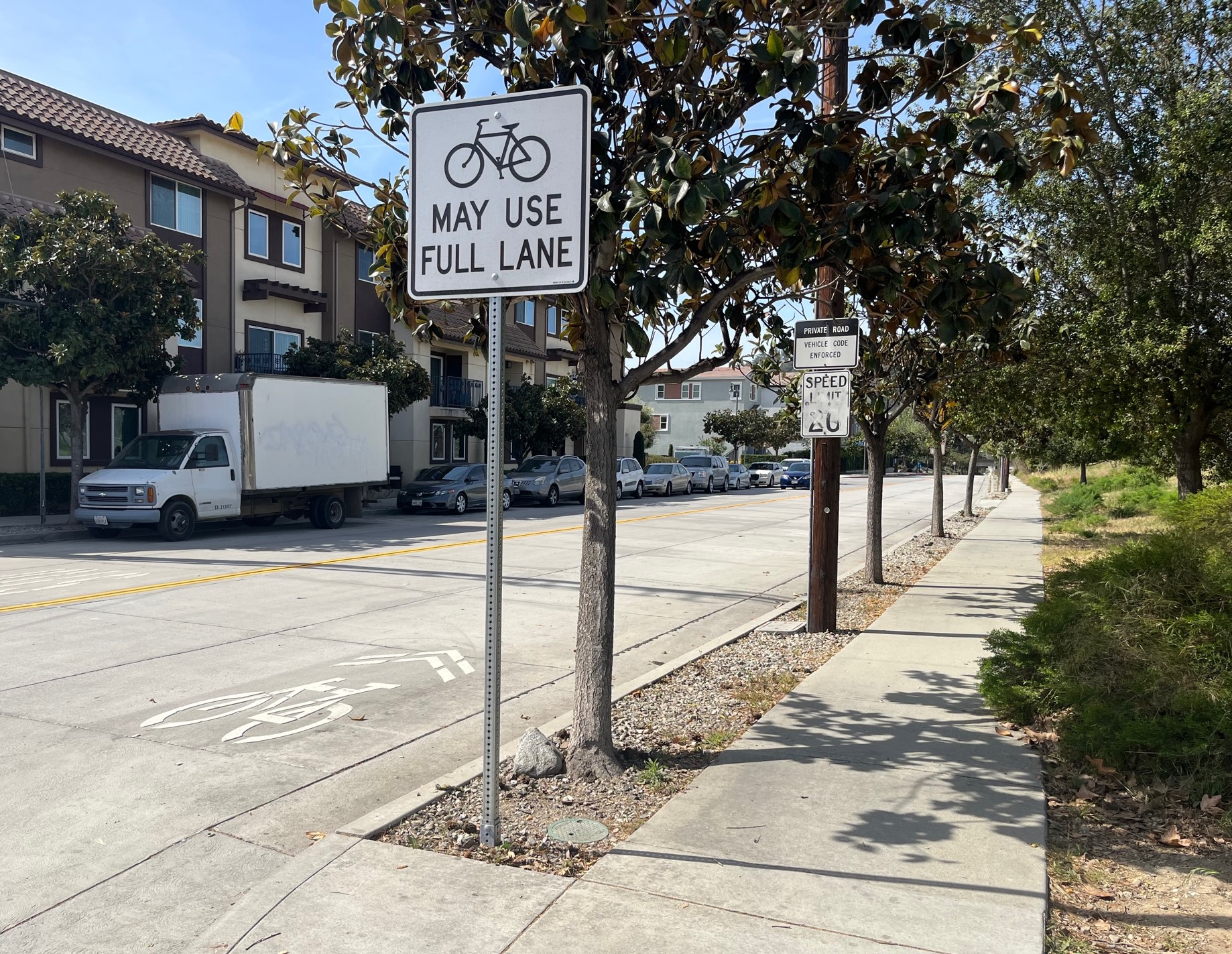
The city has also added sharrows to the access road that leads to the bridge (and to the Metrolink maintenance yard just downstream)
xxx
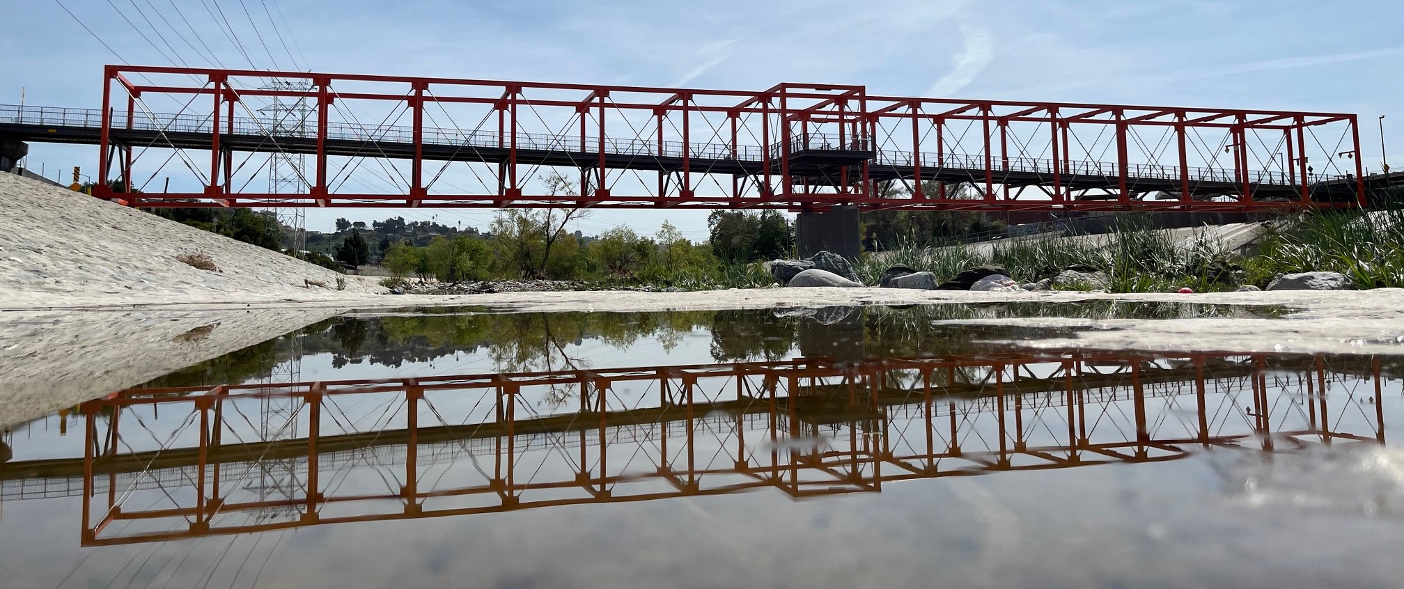
The new Taylor Yard bridge
xxx
The bridge connects people with the existing seven-and-a-half-mile L.A. River bike/walk path
xxxx
Another reflection photo of the new Taylor Yard bridge

Streetsblog has migrated to a new comment system. New commenters can register directly in the comments section of any article. Returning commenters: your previous comments and display name have been preserved, but you'll need to reclaim your account by clicking "Forgot your password?" on the sign-in form, entering your email, and following the verification link to set a new password — this is required because passwords could not be carried over during the migration. For questions, contact tips@streetsblog.org.


More from Streetsblog California

The Week in Short Video

August 7, 2026

Friday’s Headlines

August 7, 2026

Talking Headways Podcast: What Does It Cost to Build a Bus?

August 6, 2026

Commentary: Caltrans, Aren’t we Entitled to the Same Safety You Provide for Yourselves?

August 6, 2026
See all posts