Transit Center’s Car-Free Street in Danger
The San Francisco Planning Commission approved a development yesterday afternoon for Parcel F of the Transbay Transit Center Area, between Howard and Natoma. The 800-foot tower will include hotel rooms, housing, office space, and bike parking.
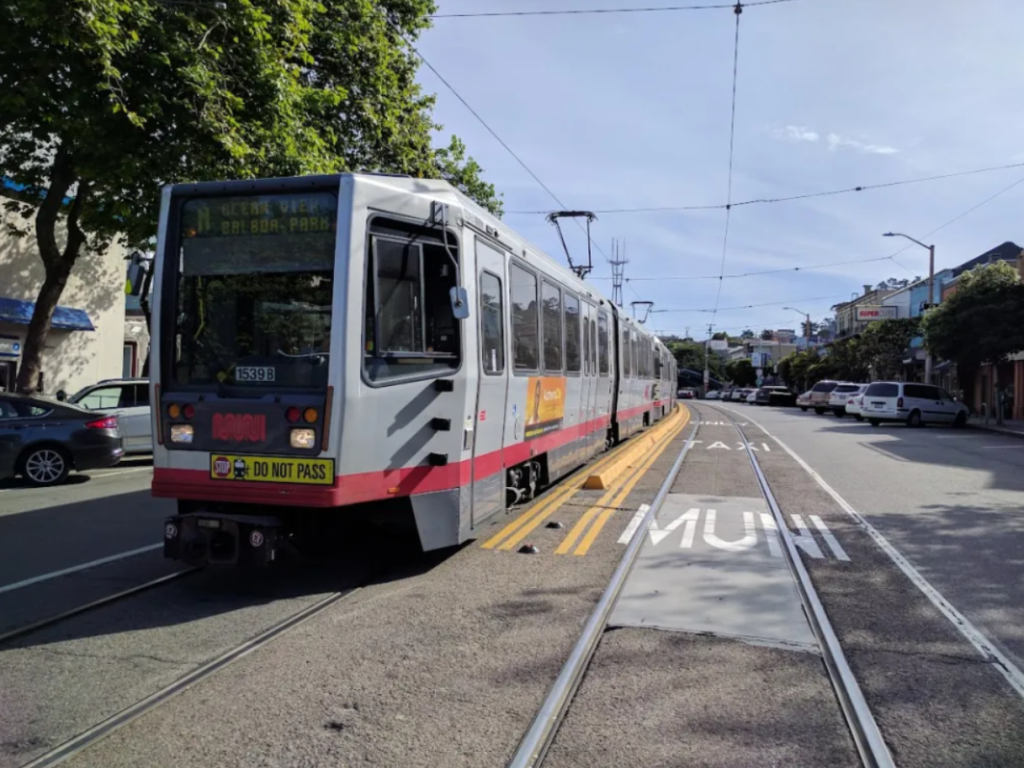
Bringing more high-density development to the area around the Salesforce Transbay Terminal, home to AC Transit and other bus services and the future home of Caltrain and High-speed Rail is great–density should be maximized around a huge transit hub. But Livable City’s Tom Radulovich is leading the charge to correct a major defect: the new building will also include lots of car parking. And providing access to that parking, at least according to current plans, means destroying one of the few car-free spaces in the city.
From an email Radulovich sent to Streetsblog:
The block of Natoma between First and Second is currently car-free for most of its length. The development … proposes extending a roadway through the car-free space to serve a large new parking garage. The project also proposes slicing a truck loading entry through the Howard Street bicycle lane.
It would be a shame to lose an entire car-free block to another auto-oriented development. The transit center is planned to be region’s most important transit hub, and we should follow in the footsteps of progressive cities by preserving and expanding car-free, people-oriented public spaces around our central transit station. The Transbay streets are dominated by traffic, garage entrances, and loading docks, and this one block of Natoma is our last best chance to preserve a significant car-free space.
The plan still has to go before the San Francisco Board of Supervisors. Radulovich is asking people to contact the office of Supervisor Matt Haney, who is normally a champion of protected bike lanes and car-free space.
“Supervisor Haney is the legislative sponsor; his staff seemed genuinely surprised that the project proposes eliminating one of the longest stretches of car-free street in SoMa,” added Radulovich. He had this to say to Haney: “It would be a sad and bitter irony if the longest car-free street in District 6 was destroyed by legislation you sponsor.”
For more on this, see Radulovich’s post on the Livable City page. To contact Haney’s staff, email them matt.haney@sfgov.org or call 415 554-7970.

Streetsblog has migrated to a new comment system. New commenters can register directly in the comments section of any article. Returning commenters: your previous comments and display name have been preserved, but you'll need to reclaim your account by clicking "Forgot your password?" on the sign-in form, entering your email, and following the verification link to set a new password — this is required because passwords could not be carried over during the migration. For questions, contact tips@streetsblog.org.