Philly’s Most Dangerous Roads are in Poor Areas
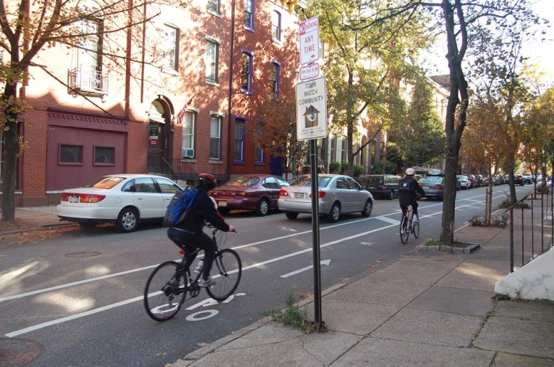
Low-income people and people of color are disproportionately on the mean streets of Philadelphia.
A new analysis from the Bicycle Coalition of Greater Philadelphia showed that less white and less affluent neighborhoods comprise 49 percent of the city’s most dangerous streets — despite containing only about 35 percent of the city’s total street mileage.

The analysis reviewed the city’s “High Injury Network” — the 12 percent of streets in the City of Brotherly Love that account for 50 percent of traffic injuries.
“Neighborhoods that lie in impoverished communities of color happen to be the most dangerous neighborhoods in Philadelphia, which is what we thought going into this,” the Bicycle Coalition’s Randy LoBasso told Streetsblog. “We believe it’s imperative that the city and nonprofits like ourselves continue to work in those neighborhoods and continue to prioritize these neighborhoods.”
The disparity between the haves and have-nots is alarming, but neither unusual nor unexpected. The same pattern is found in many cities. In general, high-poverty neighborhoods have about four times the traffic risk of high-income, according to a Governing Magazine analysis from 2014.
Take a look at this Center for Urban Transportation Research map of Broward County, Fla [PDF], which charts both traffic crashes and low-income neighborhoods.

Same pattern in Palm Beach County.

This is why cities are increasingly making “equity” a key platform of their Vision Zero plans.
“The first step in having a truly equitable Vision Zero program is to realize that, ‘the concentration of traffic safety problems are not accidental, but rather the result of patterns of disinvestment and under-investment in certain communities, particularly historically black, brown, and immigrant communities,'” the Coalition wrote on its blog, quoting the first principle in the Untokening’s Principles of Mobility Justice [PDF].
“Communities are facing a myriad of challenges that stem from the historic disinvestment and structural racism,” the Coalition added.
The organization has been hosting listening sessions in some of the worst affected areas.

Streetsblog has migrated to a new comment system. New commenters can register directly in the comments section of any article. Returning commenters: your previous comments and display name have been preserved, but you'll need to reclaim your account by clicking "Forgot your password?" on the sign-in form, entering your email, and following the verification link to set a new password — this is required because passwords could not be carried over during the migration. For questions, contact tips@streetsblog.org.