Florida is the most dangerous state in the nation for pedestrians, according to Transportation for America. More than 5,100 people were killed while walking in the state between 2003 and 2010, and four Florida cities rated among T4A's list of the most dangerous for walking.

But to its credit, the Florida Department of Transportation is trying to change that. A new study conducted by FDOT District 5, which includes Orlando [PDF], pinpoints the locations where pedestrians and cyclists are being struck.
FDOT researchers analyzed data on demographics, street geometries, traffic volumes, and crashes to determine the conditions that increase the risk of pedestrian injuries and fatalities. The findings aren't exactly earth-shattering, but the exercise demonstrates FDOT's new data-driven approach to pedestrian safety under Billy Hattaway, the top official in District 1 and the leader of the state's safety initiatives for walking and biking.
Few state departments of transportation are systematically analyzing pedestrian safety data like this -- but all of them should.
Florida DOT identified two factors that make streets especially dangerous for walking.
Streets without sidewalks
The risk of pedestrian injury is three times higher on streets without sidewalks compared to streets with sidewalks. Put another way, FDOT's model anticipates that over a five year period, a driver would injure one pedestrian per five miles of roadway without sidewalks, compared to every 15 miles of roadway with sidewalks.
Wide urban arterial roads
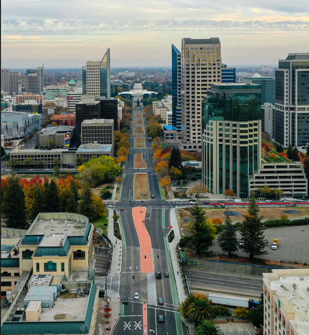
Four- to six-lane divided roads with high vehicle traffic (30,000 to 70,000 daily vehicles) are the most dangerous for pedestrians. Not surprisingly, these roads are especially dangerous where they go through densely populated urban areas.
The study maps out a detailed system to identify high-risk corridors and intersections, and the authors recommend all FDOT offices use the model to generate a statewide evaluation of dangerous locations. This is the kind of analysis necessary to save lives, enabling the state to target limited resources toward the areas with the most urgent needs.


