Downtown Oakland is growing and changing. Earlier this year, Mayor Libby Schaaf said it's time for the city to "re-envision our roads." That's easier said than done, however, and it looks like Oakland is about to blow its chance to re-envision a major downtown street.
Ralph Jacobson at GJEL Accident Attorneys blog takes a close look at plans for Harrison Street, which runs along Lake Merritt in downtown Oakland. Voters approved a measure intended to improve the downtown waterfront area, and while several of the resulting projects have been quite admirable, Jacobson says Harrison Street will remain a dangerous barrier between downtown and the lake:
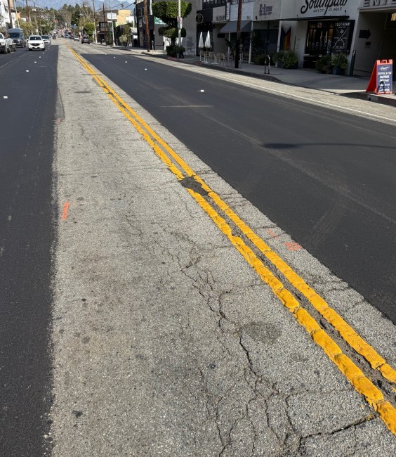
The existing highway design of Harrison Street predates Oakland’s freeway system. Harrison was widened to six lanes in the 1930s, and widened again to eight lanes in the 1950s during the construction of the Kaiser Center to accommodate projected traffic growth (filling in part of Lake Merritt in the process, as shown in the image below). However, this traffic never materialized: freeway construction rendered the eight lane highway obsolete, and it has remained half-empty over the past sixty years.
Local planners have missed a prime opportunity to correct past mistakes, Jacobson says:
As a “major downtown roadway link,” the Lake Merritt Master Plan sought to maintain five lanes on Harrison Street based on projected growth in traffic volumes and associated impacts to level of service standards. Sound familiar? Only this time, not only did the projected growth in traffic volumes never materialize; traffic volumes declined. The City counted 3,000 peak hour vehicle trips along Harrison in 2001, and projected these trips would increase to 3,400 trips by 2021*. However, peak hour traffic volumes on Harrison actually decreased by 23 percent to 2,300 trips in 2013, according to the City’s traffic count website. Harrison Street now carries as many vehicles per day (23,900) as Grand Avenue in Adams Point (23,700 vehicles per day), which has four lanes and experiences little congestion, and slightly more than Lakeshore Avenue (21,000 vehicles per day), which has just two through lanes. The City’s five lane design, therefore, will be overbuilt by at least 50 percent for cars that don’t exist.
Considering the location of Harrison Street along Lake Merritt in Downtown Oakland -- one of the densest, most transit rich locations in the Bay Area -- are car-centric metrics like level of service an appropriate measure of success? A successful design should create a seamless gateway between Downtown and the Lake, one that’s delightful for walking and biking and encourages people to enjoy the location’s beauty. A successful project should also create a convenient connection to BART and Downtown Oakland via 20th Street. To be fair, the Lakeside Green Street project as a whole will incorporate some of these objectives via the revitalization and expansion of Snow Park and the Lakefront, plus a road diet on Lakeside Drive. But such people-focused metrics were barely considered in designing Harrison; in many ways, the new design reinforces Harrison as a barrier for people walking and bicycling.
The Harrison project is labeled as a "Green Street," which in this day and age, Jacobson says, should at least have a protected bike lane. Instead, there will be minimal improvements for cycling. Jacobson is encouraging readers to reach out to city officials and ask for changes that could help salvage the project.
Elsewhere on the Network today: Bike Pittsburgh tallies up the thoroughly impressive active commuting stats from the Steel City. Greater Greater Washington says "zombie" subdivisions in Prince George's County should not be revived. And Plan Charlotte writes about the city's ambitions to become a more mixed-use, walkable place, and the slow pace of change.


