Eyes on the Street: New L.A. River Access Path
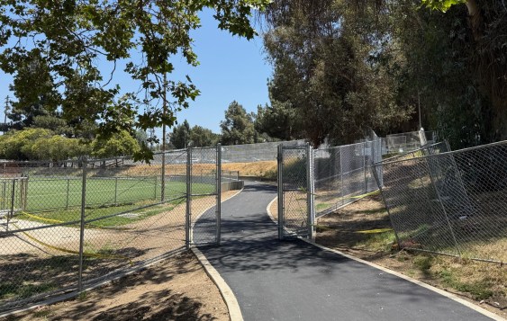
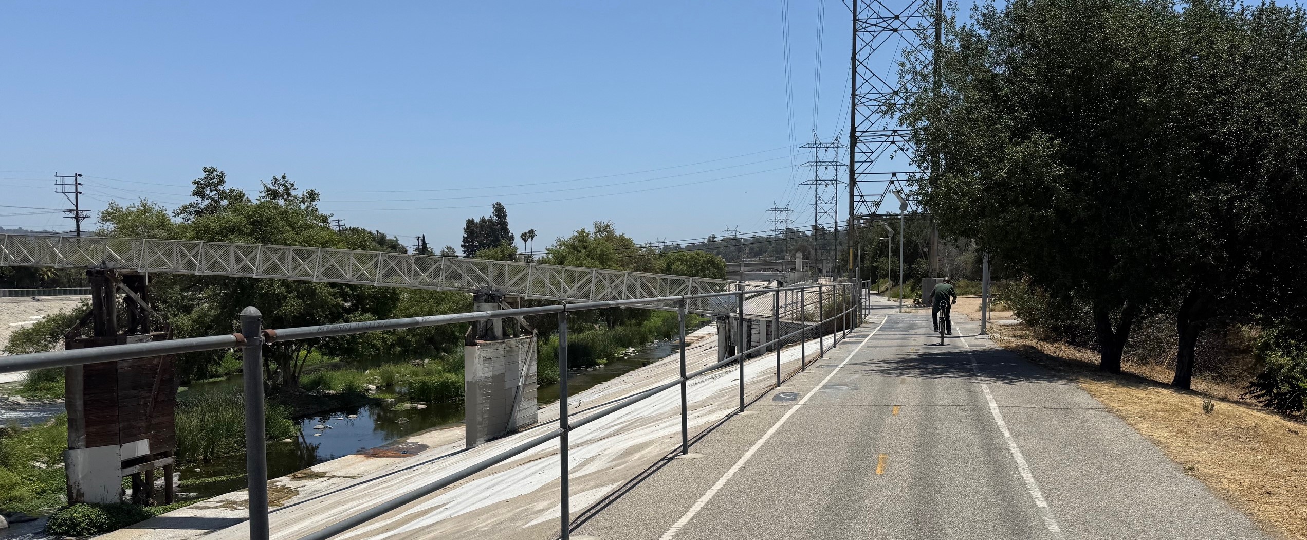
Construction appears nearly complete on a new river access path at the Griffith Park Recreation Center in the L.A. City neighborhood of Los Feliz. The new ~750-foot long walk/bike path connects to two existing walk/bike bridges – over the 5 Freeway and the L.A. River.
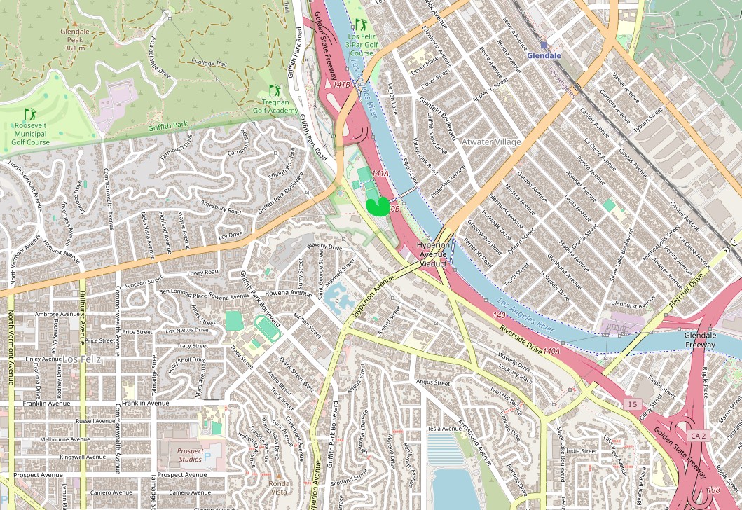
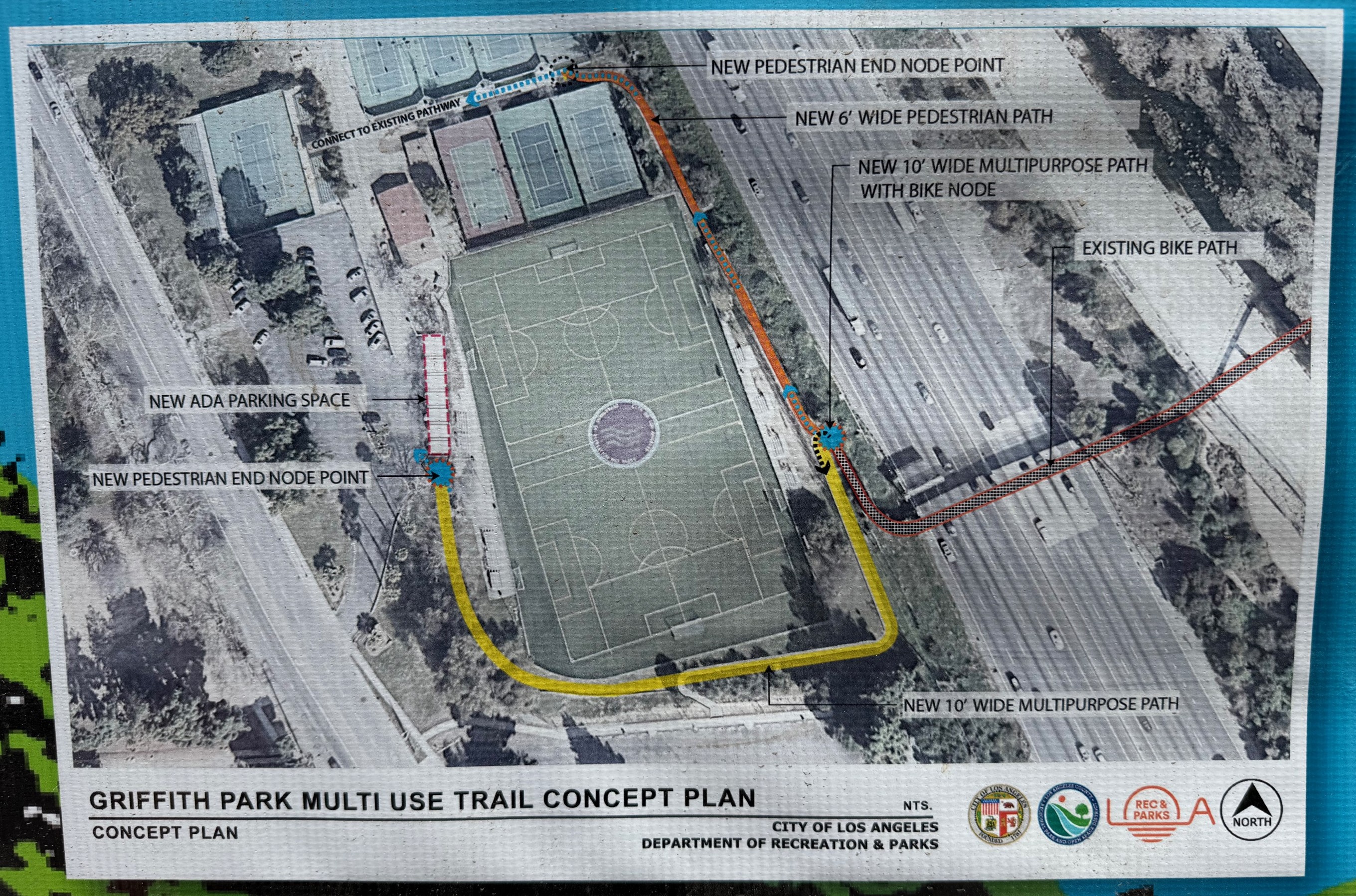
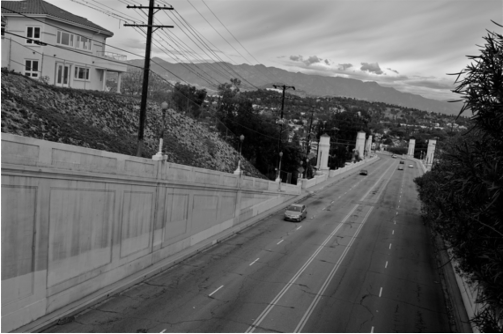
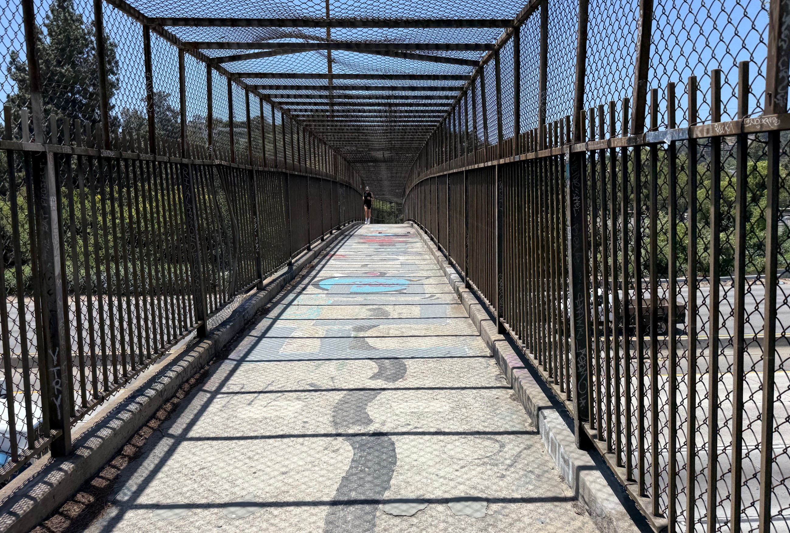
The new path formalizes a decades old river access point. To connect connecting between Atwater Village and Los Feliz, pedestrians and cyclists can use two existing pedestrian bridges over the 5 Freeway and the L.A. River. The river bridge is known as the Sunnynook Footbridge, because it aligns with Sunnynook Drive in Atwater.
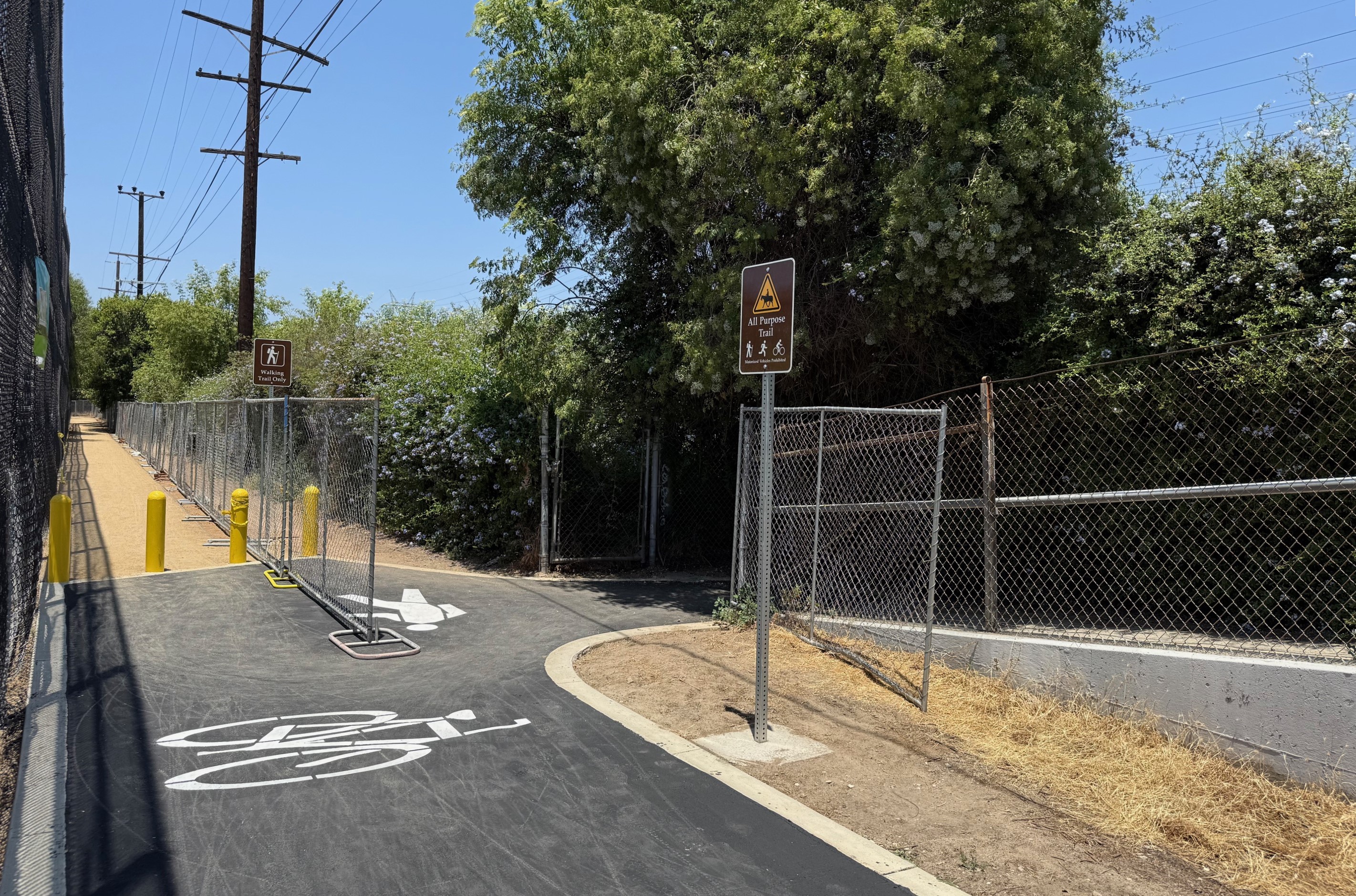
Streesblog visited the site in mid-June. Construction fences surround much of the project site, but do not prevent people on bike and foot from using the new path to access the river.
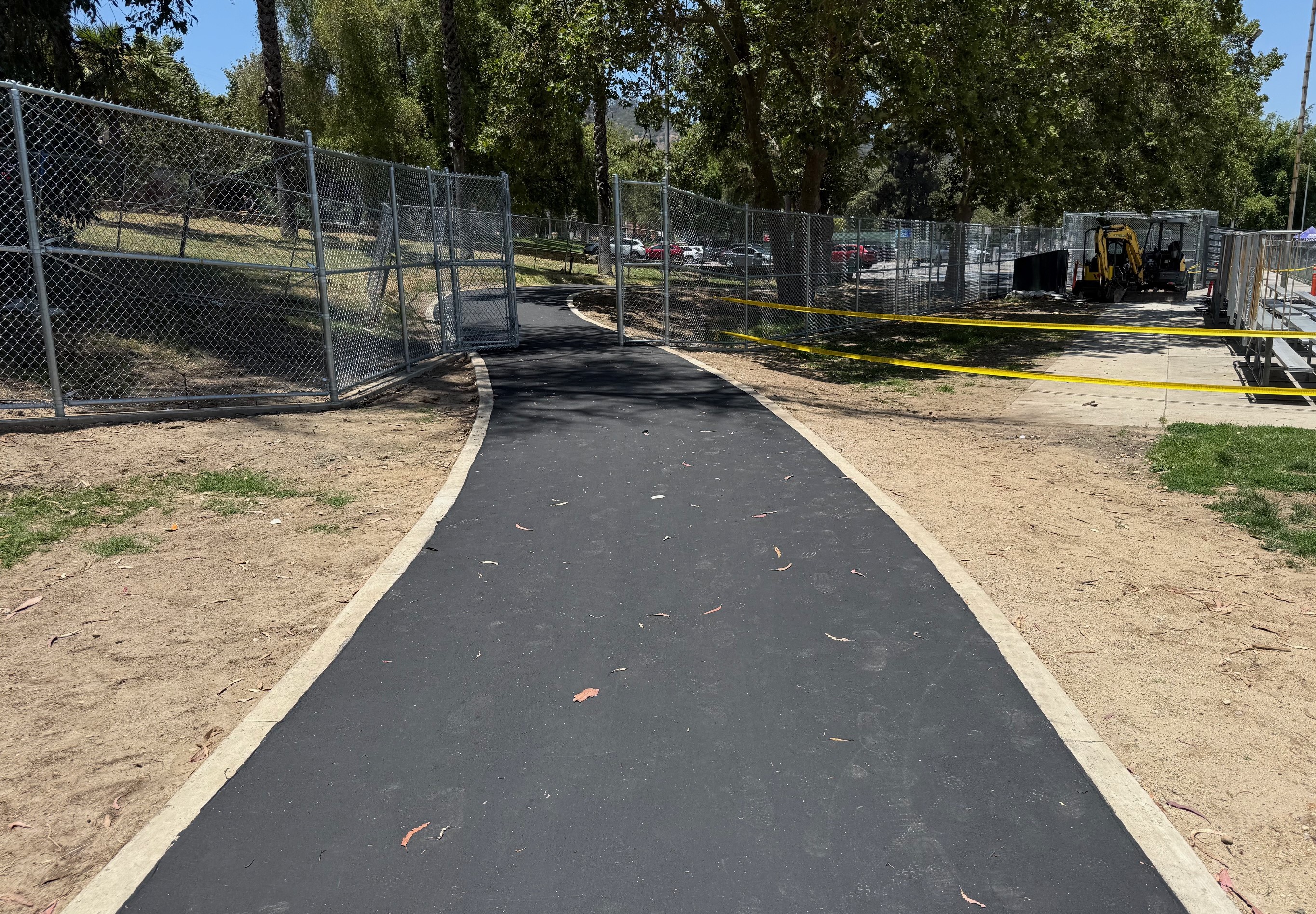
The project is an improvement for a river access point that has long been unpaved, muddy, rutted, and hidden to the point of being difficult to find.
Nonetheless, this Streetsblog editor has some criticisms. Some of the paved shared-use path is signed “Walking Trail Only.” No signs indicate that the path is how one accesses the L.A. River. (Perhaps these signs are coming?) Ultimately the design connects pedestrians and cyclists to a parking lot, when another 100-150 feet of path could have connected to Riverside Drive’s sidewalk and protected bike lanes.
The post Eyes on the Street: New L.A. River Access Path appeared first on Streetsblog Los Angeles.

Streetsblog has migrated to a new comment system. New commenters can register directly in the comments section of any article. Returning commenters: your previous comments and display name have been preserved, but you'll need to reclaim your account by clicking "Forgot your password?" on the sign-in form, entering your email, and following the verification link to set a new password — this is required because passwords could not be carried over during the migration. For questions, contact tips@streetsblog.org.