Why Townsend Street Needs Protected Bike Lanes at 4th and King Station
Anyone who uses Townsend Street’s eastbound bike lane to commute to Caltrain is sure to run into a litany of obstacles: Taxis, shuttles, private autos, and Muni buses obliterate the poor bike lane in the fight for curb space. (Much of the curb is reserved as a taxi stand.)
Sam McCandlish sent in this video, filmed by a friend of his, showing the chaotic scrum faced by bike-to-Caltrain commuters. The often-impassable conditions cause some people to resort to riding on the sidewalk. In 2011, the SFPD targeted sidewalk riders at the Fourth and King station while ignoring drivers blocking the bike lane.
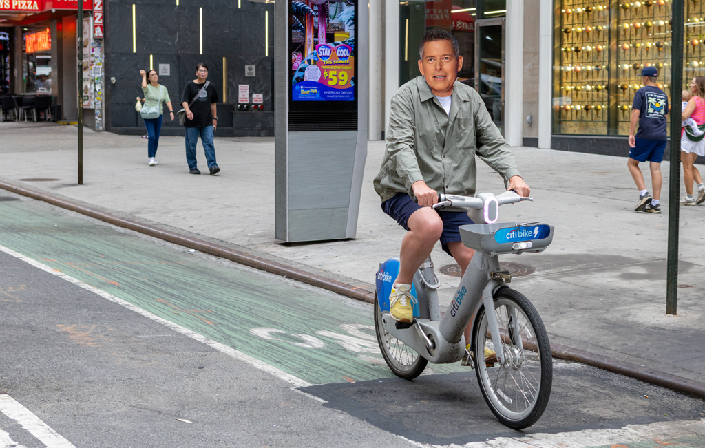
In the video, a few Bay Area Bike Share users can be seen walking their bikes in the bike lane in the opposite direction to get through the mess. Fourth and King is the busiest bike-share hub in the city at peak commute hours.

Townsend’s unprotected bike lanes, striped in 2010, are clearly failing to provide safe bike access to SF’s Peninsula rail hub. The constant blockages at the station are the culmination of an often harrowing ride to Caltrain through SoMa’s wide, speeding-plagued streets. On the rest of Townsend, navigating the potholed pavement requires some skilled maneuvering. And for anyone heading east of Fourth Street, the bike lane disappears for nearly half a block along a curbside bus zone (with only sharrows instead). The bike lanes end at Second Street.
There are still no plans on the table to install parking-protected bike lanes on Townsend, which could eliminate conflicts between drivers and bike commuters. However, the city is planning a smarter street designs on nearby Second Street, which will include a bike lane running alongside the sidewalk, separated from traffic lanes by a curb and space for parking and loading. In that design, passengers can alight from vehicles before crossing the bike lane.
To see similar configurations in action, just pay a visit to the protected bike lane and boarding island at Duboce and Church Streets or Polk Street’s contra-flow bike lane. SF knows how to build these streets. Now it’s just a matter of execution


Read More:
Streetsblog has migrated to a new comment system. New commenters can register directly in the comments section of any article. Returning commenters: your previous comments and display name have been preserved, but you'll need to reclaim your account by clicking "Forgot your password?" on the sign-in form, entering your email, and following the verification link to set a new password — this is required because passwords could not be carried over during the migration. For questions, contact tips@streetsblog.org.