Like a few other transit agencies in California, the San Francisco Bay Area's regional train system, BART, owns land surrounding a number of its stations. Most of that space has been dedicated to storing the cars of its riders, and it sits empty at night (and during pandemics).
For the past several years, BART has been exploring developing housing on some of these lots, but from the beginning has faced loud objections over the loss of any parking. To be fair, alternative ways to reach the stations - frequent buses, safe biking infrastructure - are not always great, and much of that is outside of BART's control.
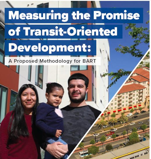
So BART teamed up with TransForm - a Bay Area planning and advocacy organization dedicated to helping California cities and regions better integrate transit, housing, and land use planning - to study how best to plan for developing housing at its stations. BART's goal to put its parking lots to better use as housing close to transit and to reduce solo driving to its stations means making it easier to get to its stations without having to drive and park there.
BART owns about 250 acres of developable land across 27 of its fifty stations, and plans to build 20,000 new housing units on its properties by 2040, with about 35 percent of those to be sold or rented at below market rate (BMR) to help limit the displacement of low-income households, especially in areas near transit. But it faces a trade-off between housing and parking: prioritizing housing will inevitably lead to less parking.
When it was first built in the 70s, BART assumed that providing free parking was the only way to get riders to use its system. But that parking never was free - BART had to build and maintain the lots, and today, at least BART charges for it. But even so it became clear both that more housing is needed, and especially more housing near transit stations, so the people can more easily get around without driving.
In 2017, the passage of A.B. 2923 helped somewhat by forcing cities to change their zoning to allow BART to develop housing. Berkeley, in particular, fought the notion at first, but then developed a process to work with BART on solutions that could increase housing and provide better all-around access to two BART stations with large parking lots within its city limits.
TransForm's report, which was funded by a Sustainable Transportation Planning grant from Caltrans, is a guide for transit agencies, cities, and communities on how to think about and plan for making choices about the inevitable trade-offs. First, there needs to be a consistent approach to analyzing stations sites. Each exists within a different urban or suburban context - BART has already categorized its station areas according to a spectrum, such as "urban with parking" - and outreach done in the process of developing this report shows that every community has ideas and needs that are unique. Having a consistent methodology for approaching the questions that come up, and takes into account these differences, would make it easier to make decisions about trade-offs.
The analysis looked at two urban stations surrounded by parking - Lake Merritt and El Cerrito Plaza. At El Cerrito Plaza, TransForm compared two development scenarios, one that would replace half of the current parking and another that would replace only five percent of them. Its work showed that the second one, unsurprisingly, would "make the most progress towards BART's TOD policy goals." Replacing less parking would allow more homes and more affordable homes to be built, and lead to less traffic and fewer emissions.
The City of El Cerrito has shown strong support for sustainability and development, adopting a specific plan that sets tall height limits as well as an affordable housing strategy. Even so, according to the report, "comments at the first open house event for BART’s El Cerrito Plaza station TOD skewed toward concerns about potential loss of replacement parking." One of the reasons this will likely continue to be an issue, even as the community grapples with the trade-offs between housing and parking, is that walkability and transit access at that station remain poor.
Says the report: "Replacement parking is generally the largest barrier to TOD on transit agency property."
BART tried years ago to develop housing at its Lake Merritt station but was stopped by community opposition. After better and more extensive public outreach, and the city of Oakland adopted a Lake Merritt Station Area Plan that incorporated BART's TOD policy goals. BART has since presented a second proposal for housing there, which includes a high percentage of BMR housing units (55 percent) and no replacement parking for BART customers. This one has generally been supported by the community, in part because it is informed by outreach done by the East Bay Asian Local Development Corporation (EBALDC), a local, trusted community organization.
TransForm's analysis of the two stations' potential development plans concludes that "The key strategy to ensure new housing reduces emissions and maximizes affordability: don’t overbuild parking near transit."
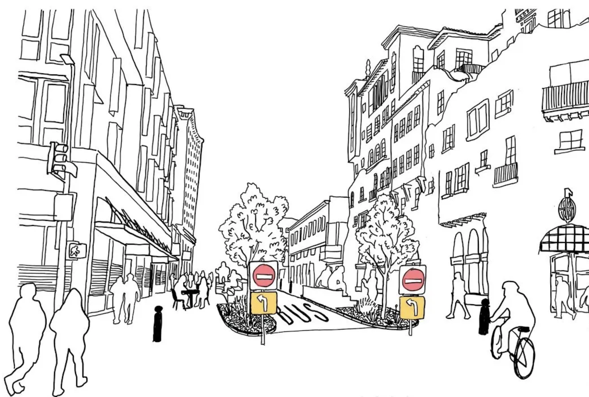
Less parking would mean more housing, less driving, and lower emissions. But the other side of this equation is equally crucial: surrounding communities need to be made more accessible by biking and walking, and connecting transit needs to be improved.
That requires cities and public transit agencies to work together. It also points to the need for policies that preserve existing affordable housing, prevent and mitigate displacement of residents with low incomes, and minimize gentrification.
The work that BART has already done on its Station Area Plans - categorizing them by location type and access, laying the groundwork for development - is just the first step. Writes TransForm:
"It stands to reason that TOD proposals for stations located in increasingly less urban locales will experience increasing levels of community resistance as the level of replacement parking is further reduced. However, these shifts are worthwhile and necessary to address the region’s housing and transportation challenges and achieve BART’s goals — political deftness informed by deep community engagement will be key to success."
TransForm does not hide its advocacy interest. "While this report is a technical document and a grant deliverable, it is also an advocacy tool that expresses TransForm’s mission around transit-oriented development and right-sized parking policies," write the authors. "We hope it will prove useful to BART and stakeholders of the Lake Merritt and El Cerrito Plaza station developments and to public agencies, developers, and cities that support TOD in and beyond the San Francisco Bay Area."
What are the next steps for this report? There are a lot of discussions in the future about what development will be like at each BART station. But first the BART board will have to decide whether to adopt the recommendations made by TransForm in this report. They will likely discuss it some time this summer.
