“Smart Freeways” Use the Same Dumb Approach
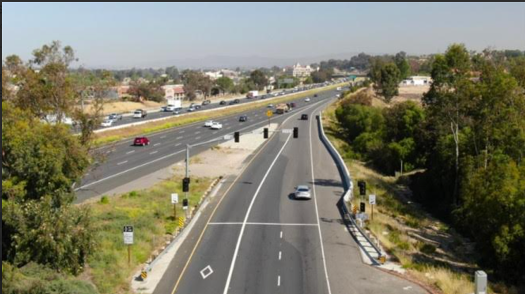
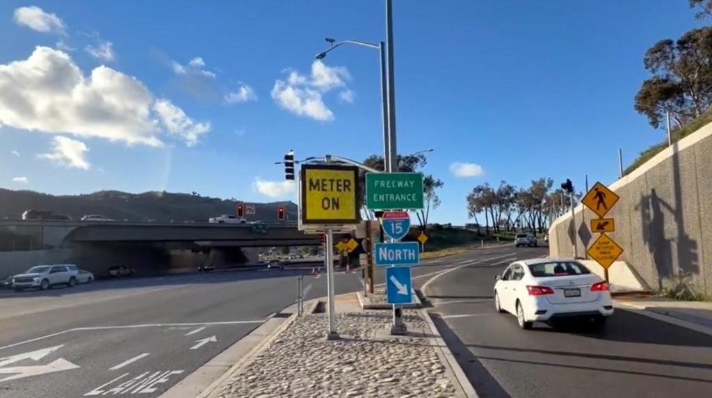
A new pilot project is now underway along an eight-mile stretch of northbound Interstate 15 (I-15) between Temecula and Murrieta in Riverside County. Described by backers as a “smart freeway,” the $33 million project aims to ease congestion through real-time traffic management, using sensors, ramp meters, and coordinated system controls along the corridor.
At a high level, the project has a clear purpose and need and it largely achieves it. This segment of freeway is now equipped with advanced monitoring systems that collect data on speeds, volumes, and travel times. That data feeds into ramp meters that regulate how many vehicles can enter the freeway at a given time, while digital message signs display recommended speeds to smooth traffic flow. According to the Riverside County Transportation Commission (RCTC), the goal is straightforward: reduce stop-and-go conditions, improve safety, and make travel times more reliable along one of the Inland Empire’s most congested corridors.
Yet despite being labeled a “smart freeway,” the project reflects a fundamentally narrow definition of what “smart” means. Over the long term, a more intelligent approach would re-envision the I-15 corridor to prioritize the safety and movement of people across multiple modes, including buses, bicyclists, and pedestrians, not just automobiles.
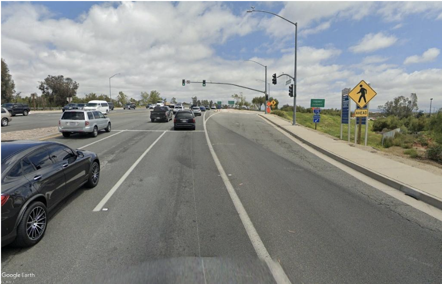
The interchanges along this stretch of I-15, including California Oaks Road, Murrieta Hot Springs Road, Winchester Road/CA-79, and Rancho California Road, illustrate this imbalance. These facilities generally include narrow sidewalks and lack dedicated bicycle infrastructure. For pedestrians, bicyclists, or e-bike users attempting to cross the freeway, the experience is not only uncomfortable but potentially unsafe. These roads are designed almost exclusively for vehicles.
The project similarly lacks transit priority. There are no dedicated lanes, queue jumps, or signal treatments for buses, even though the corridor serves rapidly growing communities that could benefit from high-quality regional transit. There is also little consideration of first- and last-mile connections or the broader active transportation network.
Moreover, while the project promises shorter delays at on-ramps, those benefits do not occur in isolation. Metering strategies that improve freeway flow can shift congestion onto local streets, where queues may lengthen and disrupt travel for other users. These effects can degrade transit reliability, increase cut-through traffic, and reduce safety for people outside vehicles.
If this is a “smart” system, it is one that is narrowly optimized for cars.
High-Tech, But Still a 20th Century Model
To be clear, the project reflects real engineering sophistication. It includes continuous data collection, a 90-day baseline period to establish existing conditions, and a two-year evaluation to assess performance and potential expansion. It is, in many ways, a carefully designed experiment in traffic management.
However, it remains rooted in a decades-old paradigm: managing congestion within a system that assumes driving is the default and, in many cases, the only viable option.
This distinction matters because technology alone cannot solve what is fundamentally a land use and transportation systems problem. In southwest Riverside County, housing growth has far outpaced multimodal transportation investments, resulting in long car-dependent commutes. Making those commutes incrementally smoother does not reduce reliance on driving; it reinforces it.
Over time, smoother traffic conditions tend to induce additional demand, a well-documented phenomenon in transportation planning. The result is a familiar cycle: temporary relief followed by renewed congestion.
The Oxymoron of the “Smart Freeway”
The issue is not the use of sensors or ramp meters. It is the underlying framework.
Freeways are, by definition, limited-access facilities designed for high-speed motor vehicle travel. They exclude most other users. Adding layers of technology to that system without expanding who it serves does not fundamentally change its purpose; it simply refines how efficiently it moves cars.
In that context, the idea of a “smart freeway” begins to resemble an oxymoron. A truly smart transportation system would prioritize moving people rather than vehicles. It would expand access to jobs and services, reduce overall travel demand, and provide multiple safe and affordable ways to get around.
By that standard, the I-15 project is not transformative. It is optimized.
What a Truly Smart Corridor Could Look Like
A more forward-looking approach would treat the corridor as a multimodal spine rather than a purely vehicular conduit.
A “smart” I-15 could incorporate dedicated bus lanes or express transit that bypass congestion altogether, supported by the same real-time data and system coordination now used to manage vehicle flow. It could prioritize high-occupancy vehicles at on-ramps, using technology to incentivize carpooling rather than treating each vehicle equally.
Sean Noonan is an environmental planner. He also teaches urban planning at CSU, Fullerton.

Streetsblog has migrated to a new comment system. New commenters can register directly in the comments section of any article. Returning commenters: your previous comments and display name have been preserved, but you'll need to reclaim your account by clicking "Forgot your password?" on the sign-in form, entering your email, and following the verification link to set a new password — this is required because passwords could not be carried over during the migration. For questions, contact tips@streetsblog.org.