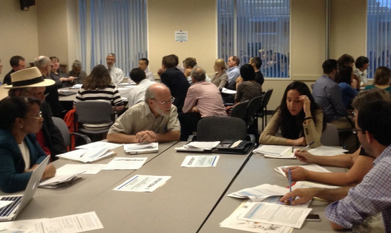
The California Office of Environmental Health Hazard Assessment (OEHHA) is updating CalEnviroScreen, holding a series of workshops and webinars starting this week and continuing throughout September—see the end of this post for locations and details. The first one takes place in Los Angeles this evening.
CalEnviroScreen is the official tool used by state agencies to determine what constitutes a “disadvantaged community” so that it can prioritize funding as called for by law—in particular by S.B. 535, which requires that cap-and-trade money be invested in communities that bear a disproportionate burden from pollution. The state recognizes that some communities suffer more than others from climate change and environmental problems—communities located in areas with bad air quality, for example—but has struggled with the question of how to define those disadvantages.
Because it involves money, the question quickly becomes very political. San Francisco, which has pockets of overburdened communities, was upset when those communities were too small to show up on CalEnviroScreen. Other cities want adjustments so as to better highlight communities that are disadvantaged in terms of income, since there is a history of ignoring low-income community's environmental struggles.
CalEnviroScreen uses nineteen measurable characteristics to identify the state's disadvantaged communities. For example, communities that are closer to hazardous waste sites or polluting industries score higher on the CalEnviroScreen map. The “pollution burden” includes factors like levels of ozone and diesel, quality of drinking water, and exposure to traffic and pesticides.
The tool also measures characteristics like higher rates of asthma, low birth weight, poverty, and unemployment, factors which would indicate populations that are more vulnerable to pollution.
In its new version 3.0, the CalEnviroScreen methodology has been refined. It also takes advantage of more and better data than was available when it was first formulated.
Sam Delson of the OEHHA said that a major difference with the current update is the inclusion of two new characteristics. One measures rent burden—the percentage of household income spent on housing. The other tracks the number of emergency room visits for cardiovascular problems.
It also deletes an age indicator, which had showed the proportion of children and elderly people living in a community. “We did analysis that showed that removing the age factor didn't change the results,” said Delson, even though there has been a correlation between the number of children under ten and a higher CalEnviroSceen score—meaning that places with a higher percentage of children are more vulnerable to health and other effects from pollution.
A report on the new tool can be found here, and a discussion of the changes between the last version and the draft update is available here. A draft version of the new map can be found here.
The workshops and remaining webinar (the first webinar was held yesterday) will introduce the updated tool and explain what is different, and then request feedback from participants. The official comment period ends on October 21.
The final draft is expected to be finished by the end of the year.
Comments can be emailed here, or mailed to:
Carolyn Flowers
Office of Environmental Health Hazard Assessment
P. O. Box 4010
Sacramento, California 95812-4010
WEBINAR
- Wednesday, September 28, 11 a.m. to noon. Information on how to register will be available here soon.
WORKSHOPS
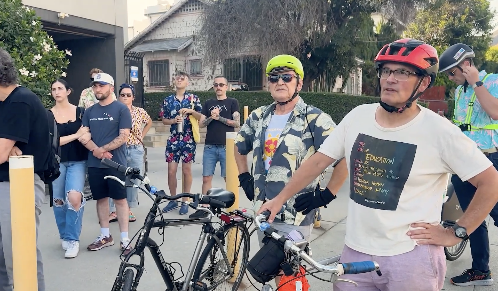
- Los AngelesTODAY, Wednesday, September 7, 6 to 8 p.m., Junipero Serra State Building, 320 West Fourth StreetRegister here for Los Angeles.
- San BernardinoThursday, September 8, 6 to 8 p.m., 5th Street Senior Center, 600 W. 5th StreetRegister here for San Bernardino.
- San DiegoTuesday, September 13, 6 to 8 p.m., Cesar E. Chavez Campus, 1901 Main StreetRegister here for San Diego.
- CalexicoWednesday, September 14, 6 to 8 p.m., Carmen Durazo Cultural Arts Center, 421 Heffernan St.Register here for Calexico.
- Oakland Tuesday, September 20, 6 to 8 p.m., Oakland Asian Cultural Center, 388 9th St, Suite 290Register here for Oakland.
- Sacramento Wednesday, September 21, 6 to 8 p.m., Fruit Ridge Community Collaborative, 4625 44th StreetRegister here for Sacramento.
- Fresno Thursday, September 22, 6 to 8 p.m., Cecil C. Hinton Community Center, 2385 S Fairview AvenueRegister here for Fresno.