
Statewide Bicycle and Pedestrian Plan Seeks Your Ideas, Thoughts
Caltrans is making some progress on its first-ever statewide bicycle and pedestrian plan. The progress is happening at a Caltrans pace, but it is coming along. Two workshops were held this week to discuss what's been done so far: the draft vision, goals, and objectives. An online survey seeks input on what needs to be added or adjusted.
It's not a long document. The survey will take about five or fifteen minutes, depending how much you have to say about the draft ideas it lays out.
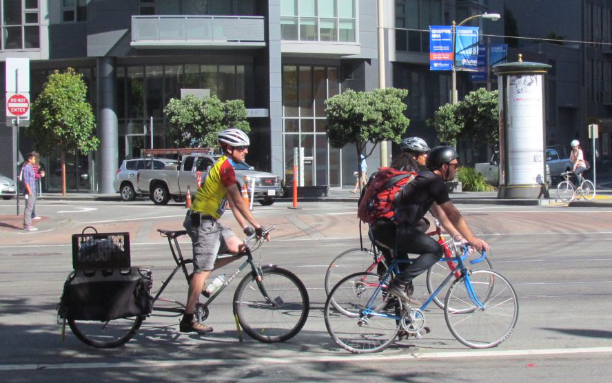
The plan stems from Caltrans' strategic planning goal to triple bicycle and double walking trips in the state. “We recognize that most travel happens on the local system,” said Scott Forsythe, who is managing the plan for Caltrans. “The question is, how do we complement those local efforts?”
At one of this week's meetings, commenters asked questions that made it clear it will be a somewhat tricky thing to create a useful document at this scale. That is, a statewide document cannot be like a local bike plan, and the final product won't have project recommendations or maps or anything very specific in it. It will be more of a guiding document, laying out the state's priorities and suggesting various ways local planners and engineers can reach them.
But it will be up to local planners and engineers to incorporate and use the guidance and, all along, that's been the rub with many of the Caltrans plans that have been put out in the last few years, including its Complete Streets Action plan and its guide to protected bikeways. Will engineers pay attention?
The plan's general strategies focus on
- Safety: better design, education, and enforcement
- Mobility: connected networks and connections across modes—integration of bicycling with transit, for example
- Preservation: condition, maintenance—but could this be interpreted to mean “preservation of the status quo”?
- Equity: community support, addressing equity in design and implementation, ensuring community input
Forsythe said his team is “still formulating ideas” and appreciates any and all feedback on these draft ideas. They specifically asked for help defining performance measures to understand whether the plan achieves its goals, and ideas on implementing them.
One of the questions at the workshop was about adjusting speed limits, since vehicle speed is a huge factor in the seriousness of collisions and the perceived and real safety of bicycle riders and pedestrians. It can't be done simply by changing the posted speed limit, because of the way the law is constructed to avoid so-called “speed traps.” Forsythe responded that the plan can't recommend a change in the law, but it can discuss best practices from other states that do it differently.
Other comments addressed the benefits and drawbacks of focusing on secondary, quiet streets for building out a bicycle network; the importance of wayfinding; the problems of disconnected networks because of busy streets or jurisdictional boundaries; and suggestions for performance measures.
When a project is being evaluated, it's necessary to look at the larger picture, said one participant. That's because individual projects rarely show benefits if they are part of a disconnected network. However, a network of bike lanes in the long term could contribute to a larger shift from driving.
It would be beneficial to include a way to compare the benefits of investing in a bikeway versus a road expansion, said another commenter. “Sometimes planners say a six-lane arterial 'has no space' but we don't have a way to calculate benefits from converting that space to other uses, especially for short trips,” he said. “But better bike connections can reduce the need for wider roads. For example, good bike connections in front of schools, especially in communities that are still being built or undergoing upgrades, could reduce the need for a wide road to accommodate the drop-off and pick-up traffic.”
“It's not our job as part of the state plan to dictate specific project goals,” Forsythe responded. “The local governments need to be making these kinds of trade-offs.” On the other hand, “More and better tools are needed. Caltrans may not design a bikeway, but a major contribution from this planning process is a better set of data for local planners.”
You can sign up to receive updates and review other documents related to the statewide plan at its website here.
Stay in touch
Sign up for our free newsletter
More from Streetsblog California
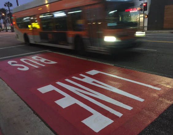
Automated Enforcement Coming Soon to a Bus Lane Near You
Metro is already installing on-bus cameras. Soon comes testing, outreach, then warning tickets.
Friday’s Headlines
SF plans street redesign at crash site; Santa Cruz commission still supports plan to have both trail and rail; State budget includes subsidies for fossil fuel industry; Unhoused camping; More

Thursday’s Headlines
CA youth speak out on climate: How LA Metro plans to spend $ from canceled 710 freeway; Watch out, illegal SF parkers, tickets are coming; More
Legislators Tackle AV, School Zone Safety
Are AVs freight trucks ready to be deployed on California roads with no one in them?
Metro Looks to Approve Torrance C Line Extension Alignment
Selecting the relatively low-cost hybrid alternative should help the oft-delayed South Bay C Line extension move a step closer to reality
