High Speed Rail Update: Animations of Potential Palmdale-Burbank Routes
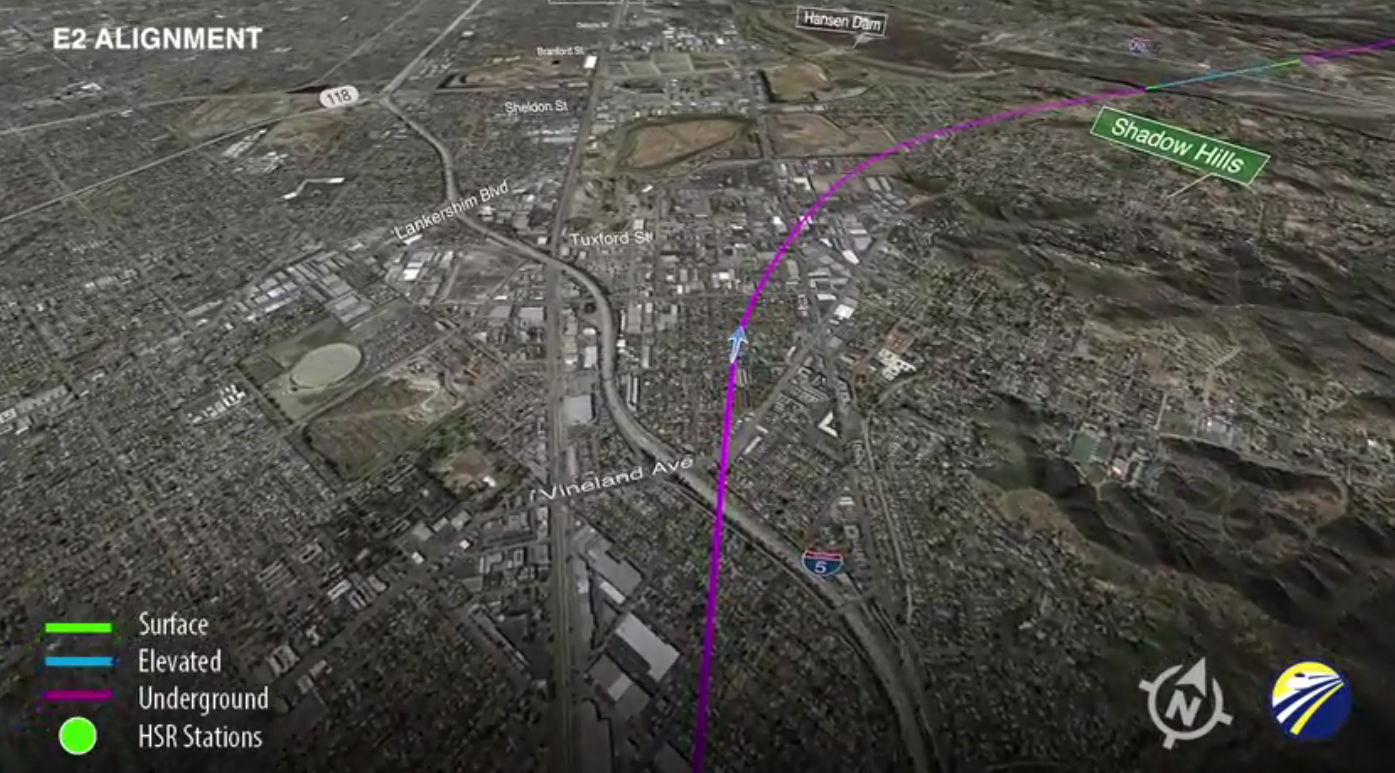
The California High Speed Rail Authority released three simple animations showing possible routes for the Palmdale to Burbank section. The animations appear on separate maps, so it's hard to compare them side-by-side, but they give a pretty good idea of how very, very long the proposed tunnels are.
The routes vary slightly in the San Fernando Valley. They all begin in a tunnel, and cut either under Pacoima, emerging to pass around Hansen Dam, or under Shadow Hills, emerging for a moment in the recreation area before dipping back underground to cut through the San Gabriel Mountains. The routes also differ as they approach Palmdale, with the train emerging from the tunnels in a few places and then going back underground before finally emerging just west of Palmdale itself.
All three routes feature extensive tunnels through the San Gabriel Mountains. Estimated costs for the different HSRA segments were released in its 2016 Business Plan, but the cost differences between these three potential routes are buried in a Supplemental Alternatives Analysis. Buried deeply. The short version is that the most expensive of the three is Route E1, the middle route that passes close to the Pacoima Dam and steers mostly clear of Highway 14.
Note that there is a public meeting on the alignments tomorrow night, Thursday, September 22, from 5 to 8 p.m. at the Fernangeles Recreation Center, 8851 Laurel Canyon Boulevard in Sun Valley.
Read More:
Stay in touch
Sign up for our free newsletter
More from Streetsblog California
Thursday’s Headlines
LA Metro declares emergency over attacks on bus operators; Some deadly Bay Area streets to see safety fixes; Tax ride-hail to save transit? More
Bill to Require Speed Control in Vehicles Goes Limp
Also passed yesterday were the Complete Streets bill, a bill on Bay Area transit funding, and a prohibition on state funding for Class III bikeways.

‘We Don’t Need These Highways’: Author Megan Kimble on Texas’ Ongoing Freeway Fights
...and what they have to teach other communities across America.
Wednesday’s Headlines
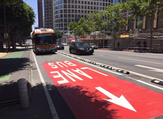
Brightline LA-to-Vegas promises quick construction; LA Metro buses set to test camera enforcement of bus lane obstruction; Why are we still knocking down houses to build freeways? More
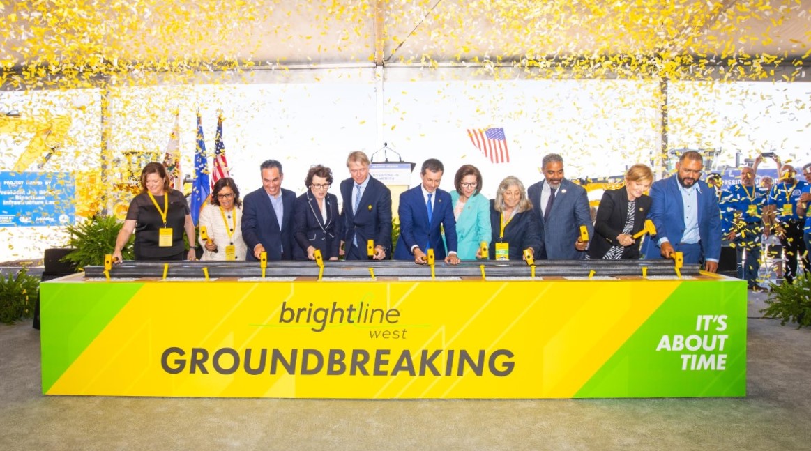
Brightline West Breaks Ground on Vegas to SoCal High-Speed Rail
Brightline West will be a 218-mile 186-mile-per-hour rail line from Vegas to Rancho Cucamonga - about 40 miles east of downtown L.A. - expected to open in 2028